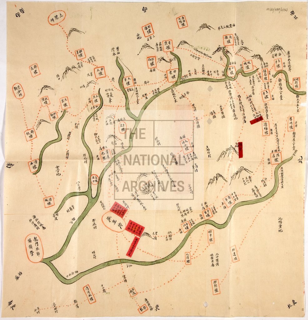
Map of area around Yung-an, covering Hsiu-jen and Li-p'u in the north and P'ing-nan and Meng-chiang-k'ou in the south, China
Reference:
FO 931/1947
Creator:
Foreign Office
Catalogue context:
Map of area around Yung-an, covering Hsiu-jen and Li-p'u in the north and P'ing-nan and Meng-chiang-k'ou in the south.
Categories:
Military; Overseas
Subjects:
International; Maps and plans
Topics:
International trade and affairs; Land and buildings; Military and war
Period:
Victorians
Places:
China
Copyright information:
Copyright clearance for publication is not required, except in the case of documents in third-party copyright.
Usage terms:
https://www.nationalarchives.gov.uk/documents/information-management/use-of-tna-materials.pdf