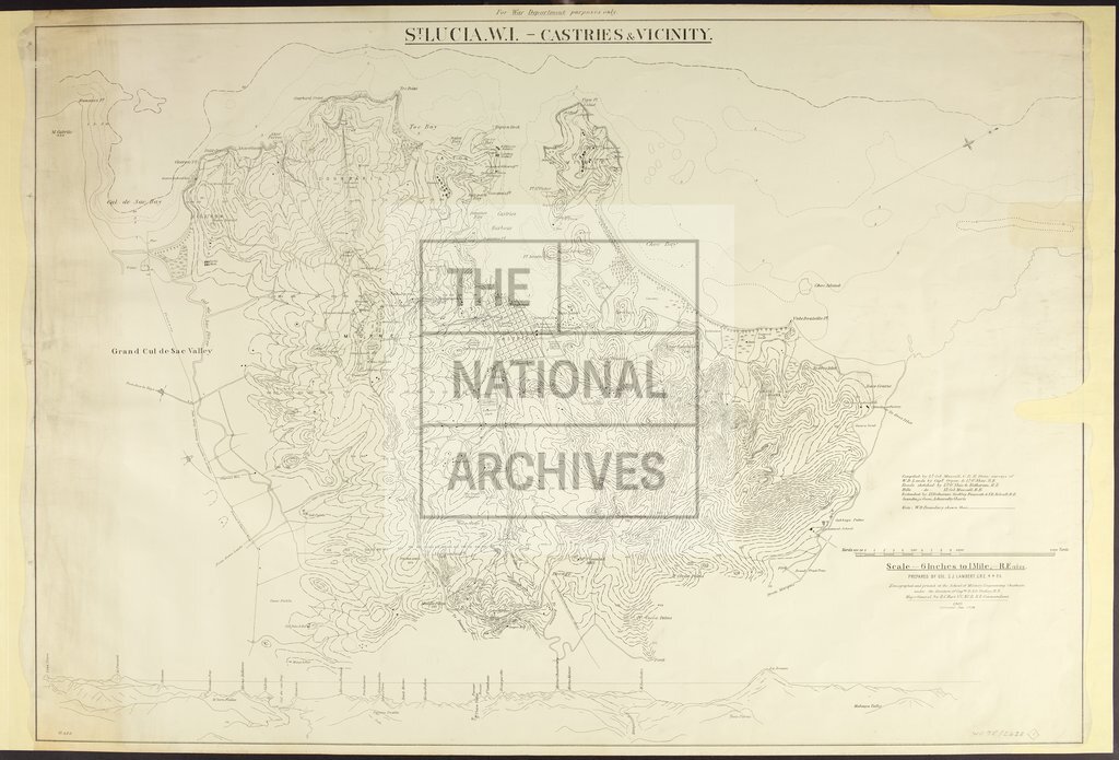
Castries, St Lucia
Date:
1895-1904
Reference:
WO 78/2423 (1)
Creator:
War Office, Armed Forces, Judge Advocate General, and related bodies
Catalogue context:
Saint Lucia: Castries. Three similar contoured maps of the town and surrounding area, showing the boundaries of War Department property. Perspective views of the town on items (1) and (3). Scale: 6 inches to 1 mile. Compass indicators. Compiled by Lieutenant Colonel Mascal, Commanding Royal Engineer, and others, on the basis of earlier surveys. Item (1) prepared by Colonel S J Lambert, Commanding Royal Engineer, 4 April 1896; item (2) (signed): Major E R Kenyon, Royal Engineers, and Colonel Lambert, 1 June 1895; item (3) (signed): Major Kenyon, 1 April 1896, and Colonel Lambert, 4 April 1896. All items zincographed and printed at the School of Military Engineering, Chatham: item (1) originally produced in 1903 and corrected to 1904; item (2) corrected to November 1895; item (3) corrected to October 1896. Printed inscriptions on each item state: 'For War Department purposes only'. A coloured pencil inscription on item (2) states that this earlier edition was superseded by the version dated 4 April 1896.
Categories:
Military
Subjects:
Armed Forces (General Administration); Army; Caribbean; Maps and plans; Operations, battles and campaigns
Topics:
International trade and affairs; Land and buildings; Military and war
Period:
Victorians
Copyright information:
Copyright clearance for publication is not required, except in the case of documents in third-party copyright.
Usage terms:
https://www.nationalarchives.gov.uk/documents/information-management/use-of-tna-materials.pdf