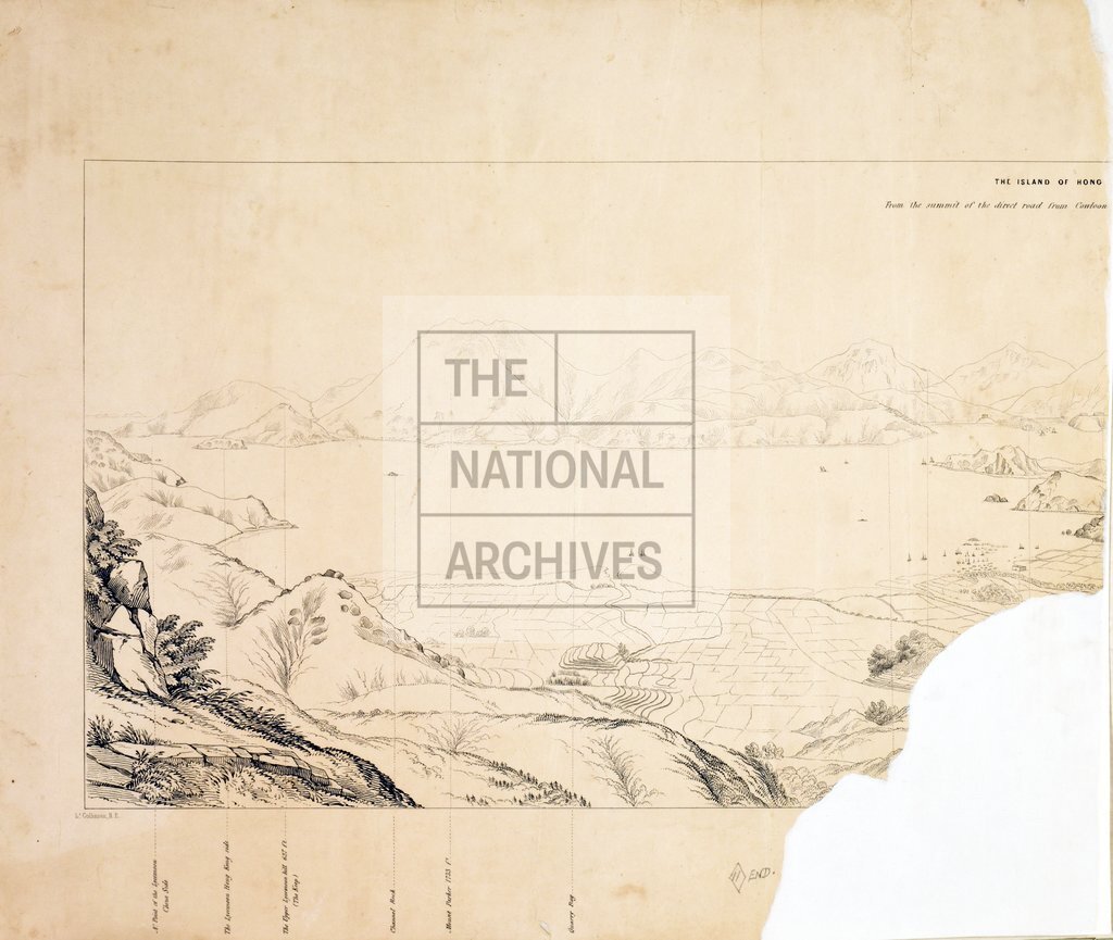
Hong Kong from the Cowloon side
Date:
1846
Reference:
WO 78/115 (11)
Creator:
War Office, Armed Forces, Judge Advocate General, and related bodies
Catalogue context:
'Ten Outline Sketches of the Island of Hong Kong. To accompany the Ordnance map of Hong Kong': 12 sheets, comprising a cover sheet, ten views, and an index map showing the extent of each view. Compass indicator to the index map. [By] Lieutenant [Thomas B] Collinson, Royal Engineers; lithographed by Dickinson and Co, Bond Street; [?issued by] the Royal Engineers' Office, Hong Kong, 27 August 1846. An MS note on the cover sheet, dated 12 March 1847 states that the drawings should be deposited at the Royal Engineers' Office in Mauritius. Cover sheet stamped at the Royal Engineers' Office, Mauritius, 14 June 1875. For a copy of the Ordnance Survey map of Hong Kong, see WO 78/118.
Categories:
Overseas; Places
Subjects:
Africa; Armed Forces (General Administration); Army; Asia; Maps and plans; Operations, battles and campaigns
Topics:
International trade and affairs; Land and buildings; Military and war
Period:
Empire And Industry
Places:
Hong Kong
Copyright information:
Copyright clearance for publication is not required, except in the case of documents in third-party copyright.
Usage terms:
https://www.nationalarchives.gov.uk/documents/information-management/use-of-tna-materials.pdf