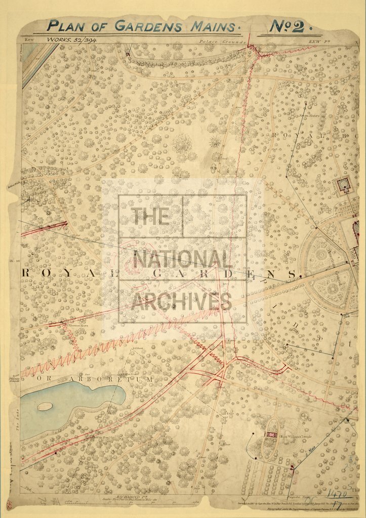
Royal Botanical Gardens Ordance Survey 5 feet to 1 mile
Date:
1867
Reference:
WORK 32/394
Creator:
Successive Works departments, and the Ancient Monuments Boards and Inspectorate
Catalogue context:
Kew Gardens. Ordnance Survey five-foot map of London: the western half only of sheet [London X 21]. Scale: 5 feet to 1 mile. Surveyed 1867. With manuscript additions showing garden water mains (number 2).
Categories:
Places
Subjects:
London; England and Wales; Maps and plans
Topics:
Land and buildings
Period:
Victorians
Copyright information:
Copyright clearance for publication is not required, except in the case of documents in third-party copyright.
Usage terms:
https://www.nationalarchives.gov.uk/documents/information-management/use-of-tna-materials.pdf