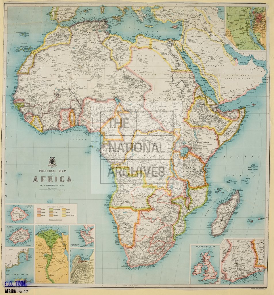
Political Map of Africa
Date:
1904
Reference:
CO 700/AFRICA27
Creator:
Colonial Office, Commonwealth and Foreign and Commonwealth Offices, Empire Marketing Board, and related bodies
Catalogue context:
Political Map of Africa by J. G. Bartholomew F.R.G.S. [Earlier editions in Case.] About 190 miles to 1 inch. Author, Publisher, &c.: Bartholomew, J., & Co., Edinburgh.
Categories:
Maps and plans; Overseas
Subjects:
Africa; Europe and Russia; International; Maps and plans
Topics:
International trade and affairs; Land and buildings
Period:
Early 20th Century
Places:
Africa
Copyright information:
Copyright clearance for publication is not required, except in the case of documents in third-party copyright.
Usage terms:
https://www.nationalarchives.gov.uk/documents/information-management/use-of-tna-materials.pdf