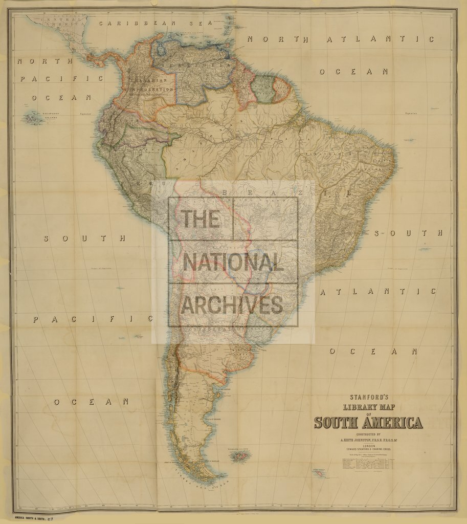
Stanford's Library map of South America
Date:
1864
Reference:
CO 700/AmericaNorthandSouth67
Creator:
Colonial Office, Commonwealth and Foreign and Commonwealth Offices, Empire Marketing Board, and related bodies
Catalogue context:
Stanford's Library map of South America. Constructed by A. Keith Johnston, F.R.S.E., etc. London. Published 15th March, 1864, by Edward Stanford. 83¼ miles to 1 inch. Author,
Categories:
Maps and plans
Subjects:
International
Topics:
International trade and affairs; Land and buildings
Period:
Victorians
Copyright information:
Copyright clearance for publication is not required, except in the case of documents in third-party copyright.
Usage terms:
https://www.nationalarchives.gov.uk/documents/information-management/use-of-tna-materials.pdf