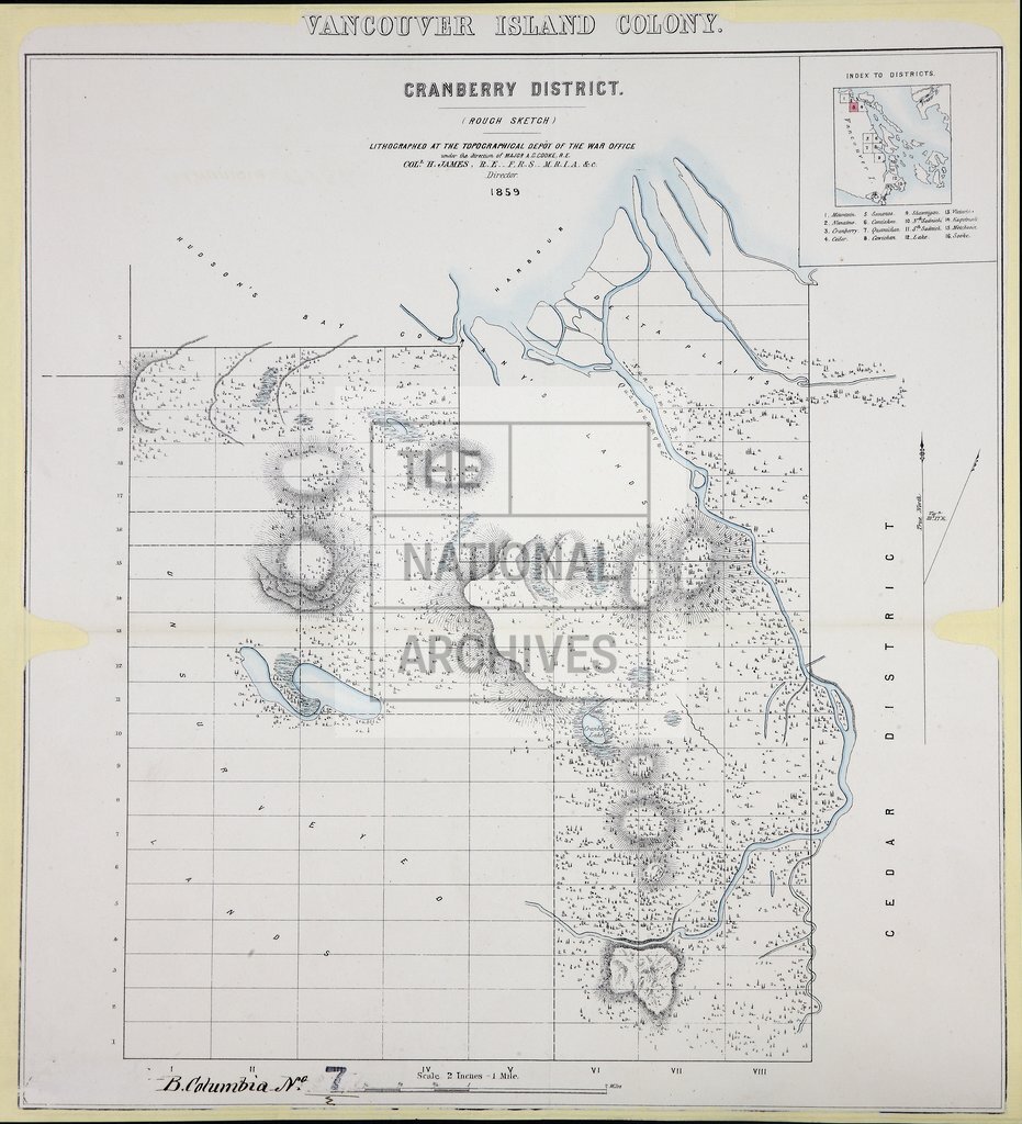
Vancouver Island 1859-Cranberry District
Date:
1859
Reference:
CO 700/BritishColumbia7 (2)
Creator:
Colonial Office, Commonwealth and Foreign and Commonwealth Offices, Empire Marketing Board, and related bodies
Catalogue context:
Vancouver Island Colony. Sketch Maps of Districts. Lithographed at the Topographical Depôt of the War Office, London, 1859.
Categories:
Maps and plans; Overseas
Subjects:
Armed Forces (General Administration); Army; International; Maps and plans
Topics:
International trade and affairs; Land and buildings; Military and war
Period:
Victorians
Places:
Canada
Copyright information:
Copyright clearance for publication is not required, except in the case of documents in third-party copyright.
Usage terms:
https://www.nationalarchives.gov.uk/documents/information-management/use-of-tna-materials.pdf