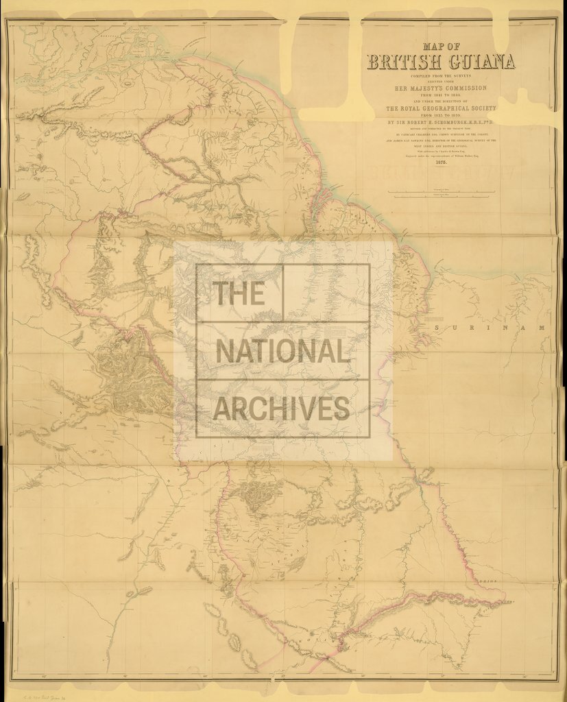
British Guiana from the Surveys of 1841 to 1844, published by Stanford 1875
Date:
1841 to 1844
Reference:
CO 700/BritishGuiana34
Creator:
Colonial Office, Commonwealth and Foreign and Commonwealth Offices, Empire Marketing Board, and related bodies
Catalogue context:
Map of British Guiana, compiled from the Surveys executed under Her Majesty's Commission from 1841 to 1844, and under the direction of the Royal Geographical Society fron 1835 to 1839, by Sir R. H. Schomburgk; revised and corrected to the present time by C. Chalmers, Esq, Crown Surveyor of the Colony, and J. G. Sawkins, Esq., Director of the Geological Survey of the West Indies and British Guiana, with additions by Charles B. Brown, Esq. Engraved under the superintendence of William Walker, Esq. About 10 miles to 1 inch. Author, Publisher, &c.: Stanford, E., London.
Categories:
Maps and plans
Subjects:
International
Topics:
International trade and affairs; Land and buildings
Period:
Empire And Industry
Copyright information:
Copyright clearance for publication is not required, except in the case of documents in third-party copyright.
Usage terms:
https://www.nationalarchives.gov.uk/documents/information-management/use-of-tna-materials.pdf