The inhabited parts of Canada, with chart of the St Lawrence river
Date:
1760
Reference:
CO 700/CANADA18
Creator:
Colonial Office, Commonwealth and Foreign and Commonwealth Offices, Empire Marketing Board, and related bodies
Catalogue context:
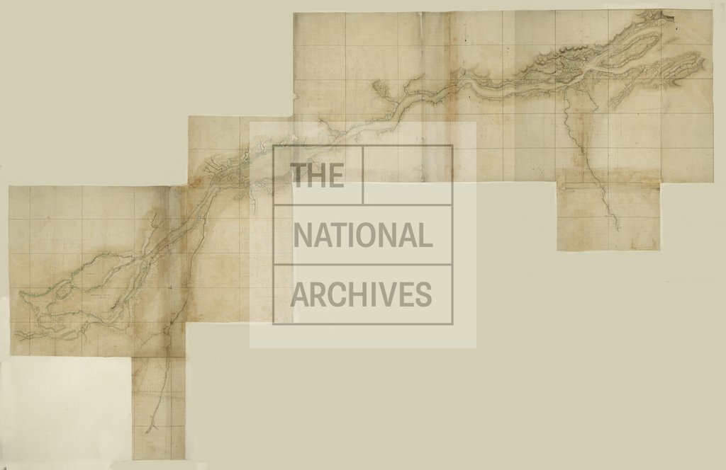
Map in two sheets of the inhabited parts of Canada, with Chart of the River St. Lawrence from the Isle of Orleans upwards. By Captain S. Holland, [Quebec], 1760. MS.
Categories:
Maps and plans; Overseas
Subjects:
Americas; Europe and Russia; International; Maps and plans
Topics:
International trade and affairs; Land and buildings
Period:
Empire And Industry
Places:
Canada
Copyright information:
Copyright clearance for publication is not required, except in the case of documents in third-party copyright.
Usage terms:
https://www.nationalarchives.gov.uk/documents/information-management/use-of-tna-materials.pdf