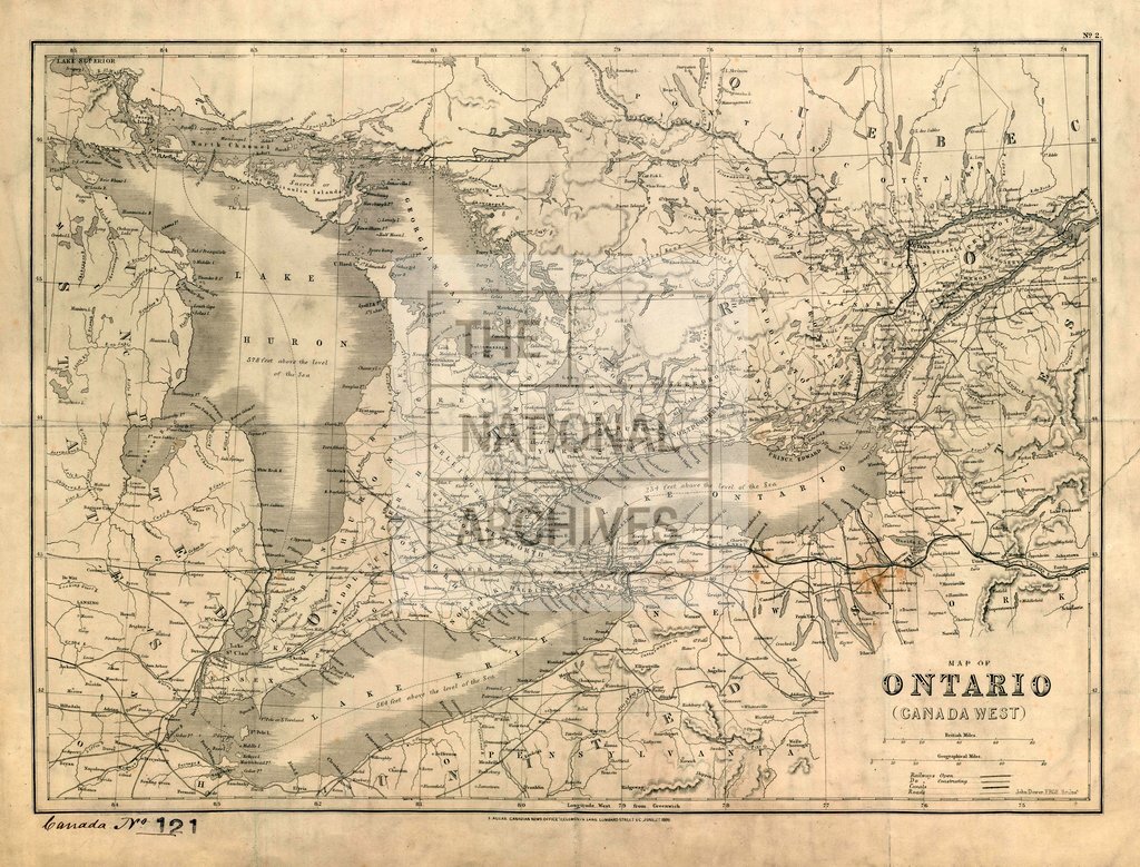
Ontario, Canada, by John Dower
Date:
1869
Reference:
CO 700/CANADA121
Creator:
Colonial Office, Commonwealth and Foreign and Commonwealth Offices, Empire Marketing Board, and related bodies
Catalogue context:
Map of Ontario (Canada West). John Dower, F.R.G.S., Sculpst. June 1st, 1869. About 25 miles to 1 inch. Author, Publisher, &c.: Canadian News Office, London
Categories:
Maps and plans; Overseas
Subjects:
Americas; Europe and Russia; International; Maps and plans; Marriage and divorce
Topics:
Family and identity; International trade and affairs; Land and buildings
Period:
Victorians
Places:
Canada
Copyright information:
Copyright clearance for publication is not required, except in the case of documents in third-party copyright.
Usage terms:
https://www.nationalarchives.gov.uk/documents/information-management/use-of-tna-materials.pdf