Eastern Border Districts of the Cape Colony
Date:
1877
Reference:
CO 700/CapeofGoodHope25
Creator:
Colonial Office, Commonwealth and Foreign and Commonwealth Offices, Empire Marketing Board, and related bodies
Catalogue context:
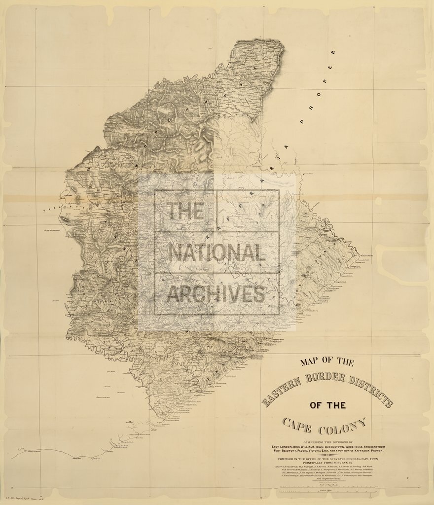
Map of the Eastern Border Districts of the Cape Colony, comprising the Divisions of East London, King William's Town, Queenstown, Wodehouse, Stockenstrom, Fort Beaufort, Peddie, Victoria East, and a portion of Kaffraria Proper. Compiled in the Office of the Surveyor-General, Cape Town, principally from Surveys by Messrs. G. H. Van Breda and others. About 5 miles to 1 inch..
Categories:
Maps and plans
Subjects:
Africa; International; Maps and plans
Topics:
International trade and affairs; Land and buildings
Period:
Victorians
Copyright information:
Copyright clearance for publication is not required, except in the case of documents in third-party copyright.
Usage terms:
https://www.nationalarchives.gov.uk/documents/information-management/use-of-tna-materials.pdf