Anglo-Portuguese boundary in East Africa
Date:
1898
Reference:
CO 700/EastAfrica8 (2)
Creator:
Colonial Office, Commonwealth and Foreign and Commonwealth Offices, Empire Marketing Board, and related bodies
Catalogue context:
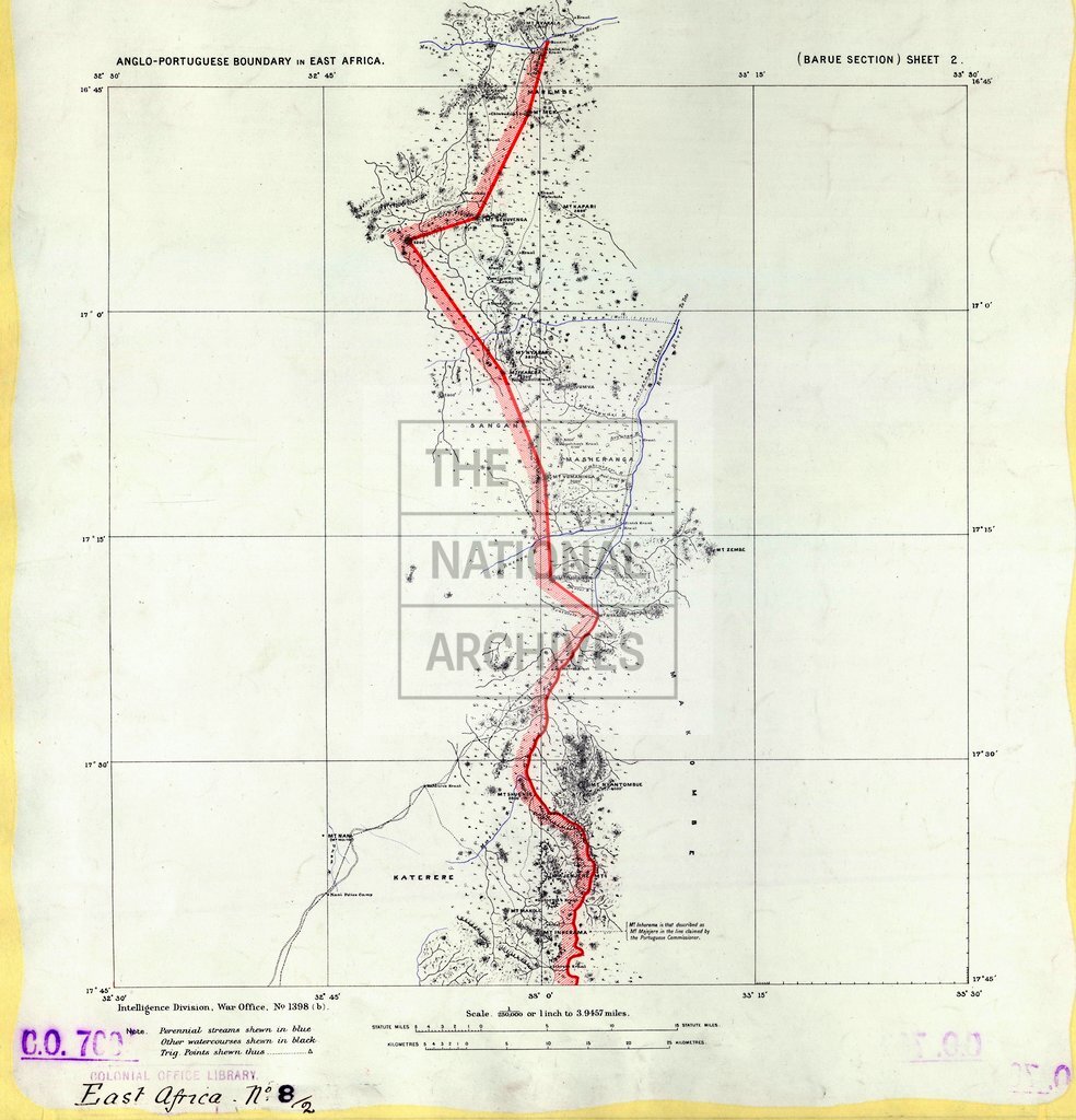
Map of the Anglo-Portuguese Boundary in East Africa, from Lat. 18°30'S. to the Mazoe River. Made in 1898 under the superintendence of Lieut.-Col. J. J. Leverson, C.M.G., R.E., British Commissioner, and others. 4 miles to 1 inch. Author, Publisher, &c.: War Office (No. 1,398) London
Categories:
Maps and plans; Overseas
Subjects:
Africa; Armed Forces (General Administration); Army; International; Maps and plans; Operations, battles and campaigns
Topics:
International trade and affairs; Land and buildings; Military and war
Period:
Victorians
Places:
Africa; Great Britain
Copyright information:
Copyright clearance for publication is not required, except in the case of documents in third-party copyright.
Usage terms:
https://www.nationalarchives.gov.uk/documents/information-management/use-of-tna-materials.pdf