Mississippi, Louisiana
Date:
1770
Reference:
CO 700/FLORIDA41
Creator:
Colonial Office, Commonwealth and Foreign and Commonwealth Offices, Empire Marketing Board, and related bodies
Catalogue context:
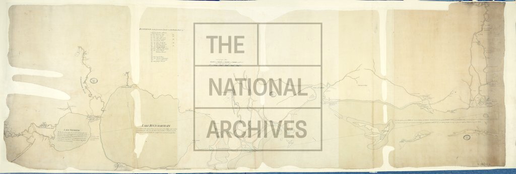
Map of part of Florida West, from the Bay Pascagoula to the River Amit beyond Lake Maurepas, with reference to the granted Lands on the River Amit, etc. MS. 1½ miles to 1 inch.
Categories:
Maps and plans
Subjects:
Americas; International; Maps and plans
Topics:
International trade and affairs; Land and buildings
Period:
Empire And Industry
Copyright information:
Copyright clearance for publication is not required, except in the case of documents in third-party copyright.
Usage terms:
https://www.nationalarchives.gov.uk/documents/information-management/use-of-tna-materials.pdf