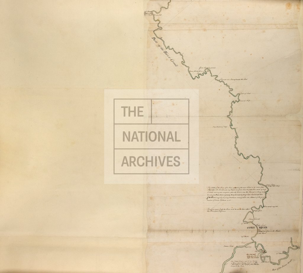
Map of part of the Rivers Iberville, Amit and Comit c1771
Date:
1771
Reference:
CO 700/FLORIDA49 (3 of 4)
Creator:
Colonial Office, Commonwealth and Foreign and Commonwealth Offices, Empire Marketing Board, and related bodies
Catalogue context:
Sketch Map of part of the Rivers Iberville, Amit and Comit. [By Elias Durnford, Engineer.] MS. 800 feet to 1 inch.
Categories:
Maps and plans
Subjects:
Americas; International; Maps and plans
Topics:
International trade and affairs; Land and buildings
Period:
Empire And Industry
Copyright information:
Copyright clearance for publication is not required, except in the case of documents in third-party copyright.
Usage terms:
https://www.nationalarchives.gov.uk/documents/information-management/use-of-tna-materials.pdf