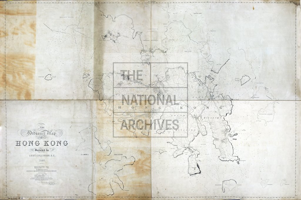
map of Hong Kong
Date:
1845
Reference:
CO 700/HongKongandChina1
Creator:
Colonial Office, Commonwealth and Foreign and Commonwealth Offices, Empire Marketing Board, and related bodies
Catalogue context:
The Ordnance Map of Hong Kong. Surveyed by Lieutenant T. B. Collinson, R.E., 1845. [Another copy in Case.] 4 inches to 1 mile. Author, Publisher, &c.: War Office, Southampton
Categories:
Maps and plans; Overseas
Subjects:
Armed Forces (General Administration); Army; Asia; International; Maps and plans
Topics:
International trade and affairs; Land and buildings; Military and war
Period:
Empire And Industry
Places:
Hong Kong
Copyright information:
Copyright clearance for publication is not required, except in the case of documents in third-party copyright.
Usage terms:
https://www.nationalarchives.gov.uk/documents/information-management/use-of-tna-materials.pdf