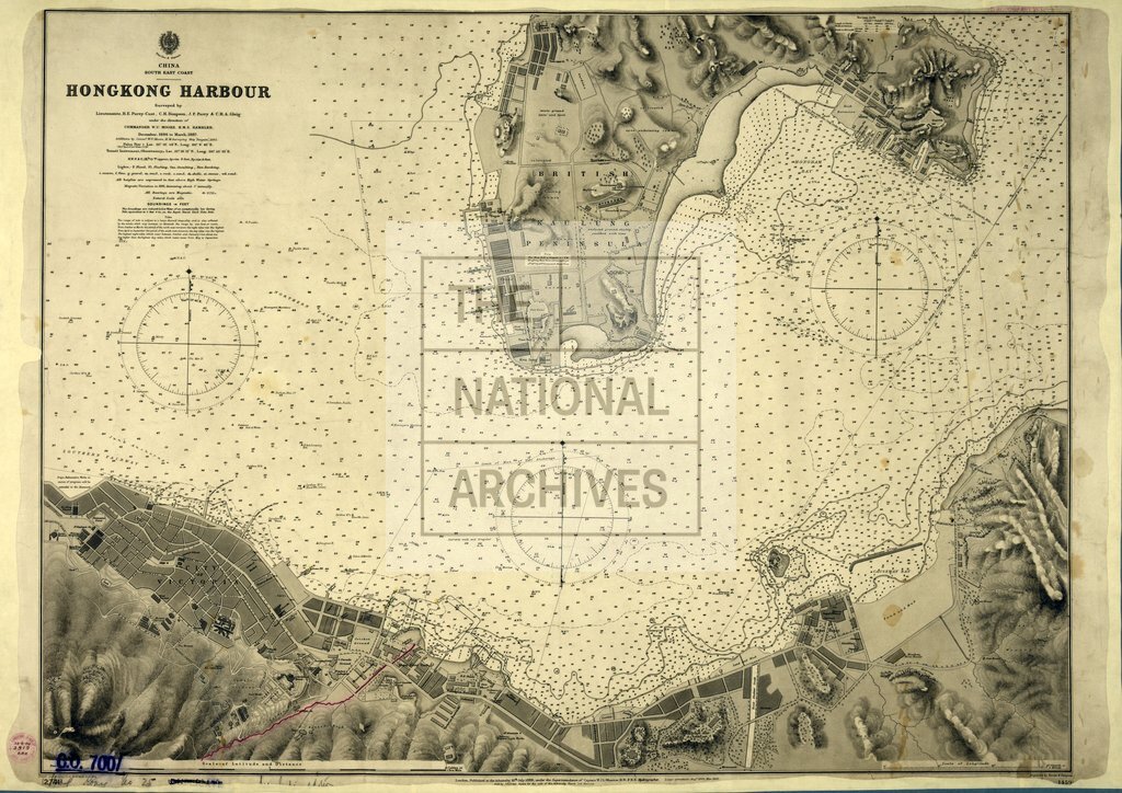
Hong Kong Harbour
Date:
1886-1892
Reference:
CO 700/HongKongandChina25
Creator:
Colonial Office, Commonwealth and Foreign and Commonwealth Offices, Empire Marketing Board, and related bodies
Catalogue context:
Hong Kong Harbour. Surveyed by Lieutenant H.E. Purey Cust and others, under the direction of Commander W.U. Moore, H.M.S. Rambler, 1886-7, with additions to 1892. 500 feet to 1 inch. Author, Publisher, &c.: Admiralty (No. 1459) London
Categories:
Maps and plans; Overseas
Subjects:
Armed Forces (General Administration); Asia; International; Maps and plans; Navy
Topics:
International trade and affairs; Land and buildings; Military and war
Period:
Victorians
Places:
Hong Kong
Copyright information:
Copyright clearance for publication is not required, except in the case of documents in third-party copyright.
Usage terms:
https://www.nationalarchives.gov.uk/documents/information-management/use-of-tna-materials.pdf