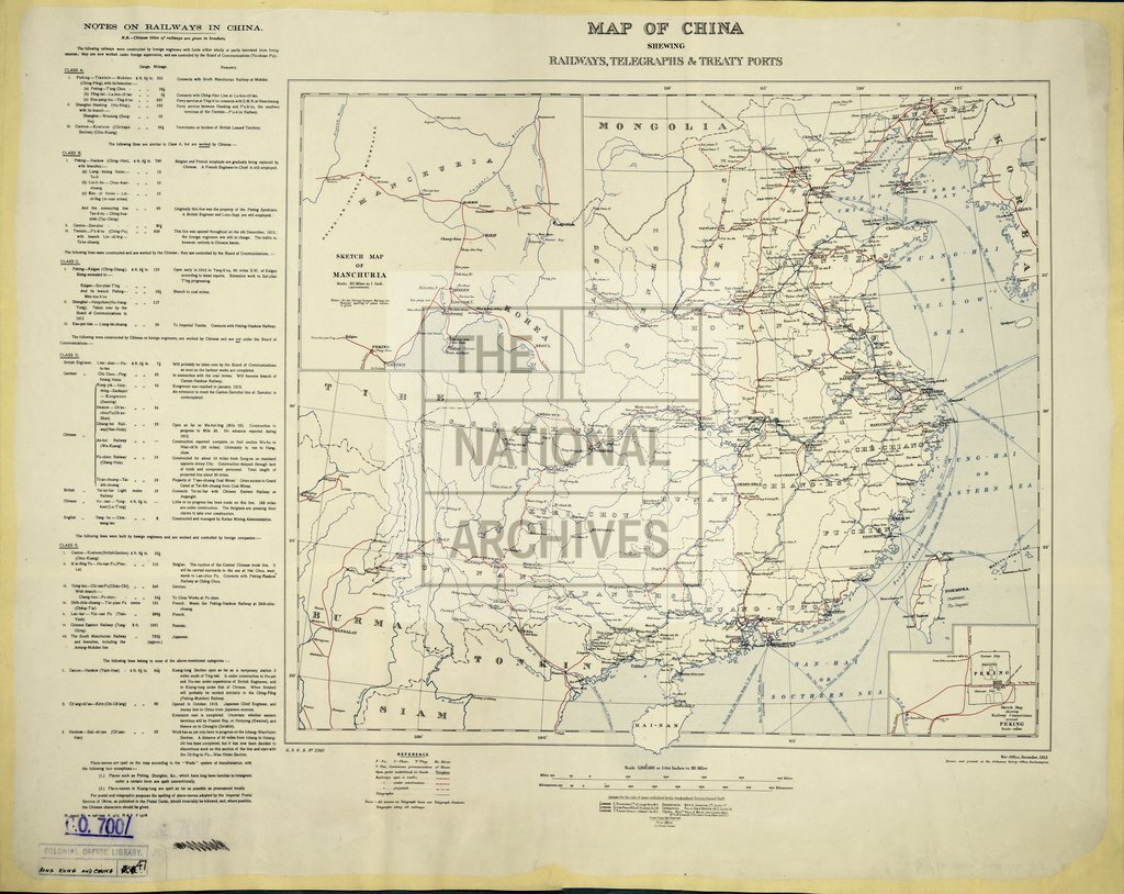
China showing railways and Treaty Ports
Date:
1909
Reference:
CO 700/HongKongandChina47
Creator:
Colonial Office, Commonwealth and Foreign and Commonwealth Offices, Empire Marketing Board, and related bodies
Catalogue context:
Map of China. Shewing railways, telegraphs and Treaty Ports. About 80 miles to 1 inch. Author, Publisher, &c.: War Office (No. 2361) London
Categories:
Maps and plans; Overseas
Subjects:
International
Topics:
International trade and affairs; Land and buildings; Transport and travel
Period:
Early 20th Century
Places:
China
Copyright information:
Copyright clearance for publication is not required, except in the case of documents in third-party copyright.
Usage terms:
https://www.nationalarchives.gov.uk/documents/information-management/use-of-tna-materials.pdf