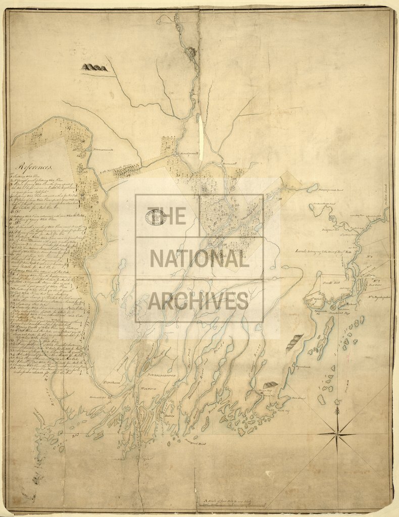
Portion of the Province of Maine
Date:
1772
Reference:
CO 700/MAINE20
Creator:
Colonial Office, Commonwealth and Foreign and Commonwealth Offices, Empire Marketing Board, and related bodies
Catalogue context:
Map of a portion of the Province of Maine showing Pine Forests. Received from Mr. Scammell, Octr. 2, 1772. MS. 4 miles to 1 inch.
Categories:
Maps and plans
Subjects:
Americas; Forestry; International; Maps and plans
Topics:
Agriculture and environment; International trade and affairs; Land and buildings
Period:
Empire And Industry
Copyright information:
Copyright clearance for publication is not required, except in the case of documents in third-party copyright.
Usage terms:
https://www.nationalarchives.gov.uk/documents/information-management/use-of-tna-materials.pdf