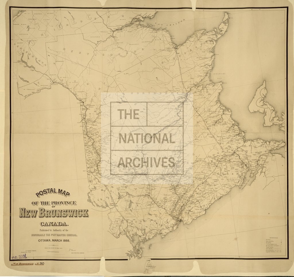
Postal Map of the Province of New Brunswick
Date:
1888
Reference:
CO 700/NewBrunswick30
Creator:
Colonial Office, Commonwealth and Foreign and Commonwealth Offices, Empire Marketing Board, and related bodies
Catalogue context:
Postal Map of the Province of New Brunswick, Canada. Published by authority of the Honourable the Postmaster General, Ottawa, March, 1888. J. Dewé, Chief Post Office Inspector. 6 miles to 1 inch.
Categories:
Maps and plans
Subjects:
Americas; Communications; International; Maps and plans
Topics:
Arts and culture; International trade and affairs; Land and buildings
Period:
Victorians
Copyright information:
Copyright clearance for publication is not required, except in the case of documents in third-party copyright.
Usage terms:
https://www.nationalarchives.gov.uk/documents/information-management/use-of-tna-materials.pdf