Hunter River
Date:
1828
Reference:
CO 700/NewSouthWales30 (bottom half)
Creator:
Colonial Office, Commonwealth and Foreign and Commonwealth Offices, Empire Marketing Board, and related bodies
Catalogue context:
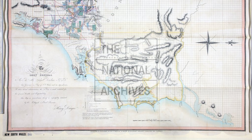
Map of the River Hunter and its branches, shewing the Lands reserved thereon for Church purposes, the Locations made to Settlers, and the Settlement and part of the Lands of the Australian Agricultural Company at Port Stephen, together with the Station of the Mission to the Aborigines belonging to the London Missionary Society on Lake Macquarie, New South Wales. By Henry Dangar. Engraved and published by J. Cross, August 1st 1828. [Inset: Plan of Allotments in Kings Town.] 3 miles to 1 inch.
Categories:
Maps and plans
Subjects:
Australia and Pacific; Farming; International; Maps and plans
Topics:
Agriculture and environment; International trade and affairs; Land and buildings
Period:
Empire And Industry
Copyright information:
Copyright clearance for publication is not required, except in the case of documents in third-party copyright.
Usage terms:
https://www.nationalarchives.gov.uk/documents/information-management/use-of-tna-materials.pdf