Southern District of North America
Date:
1781
Reference:
CO 700/NorthAmericanColoniesGeneral15 (4 of 6)
Creator:
Colonial Office, Commonwealth and Foreign and Commonwealth Offices, Empire Marketing Board, and related bodies
Catalogue context:
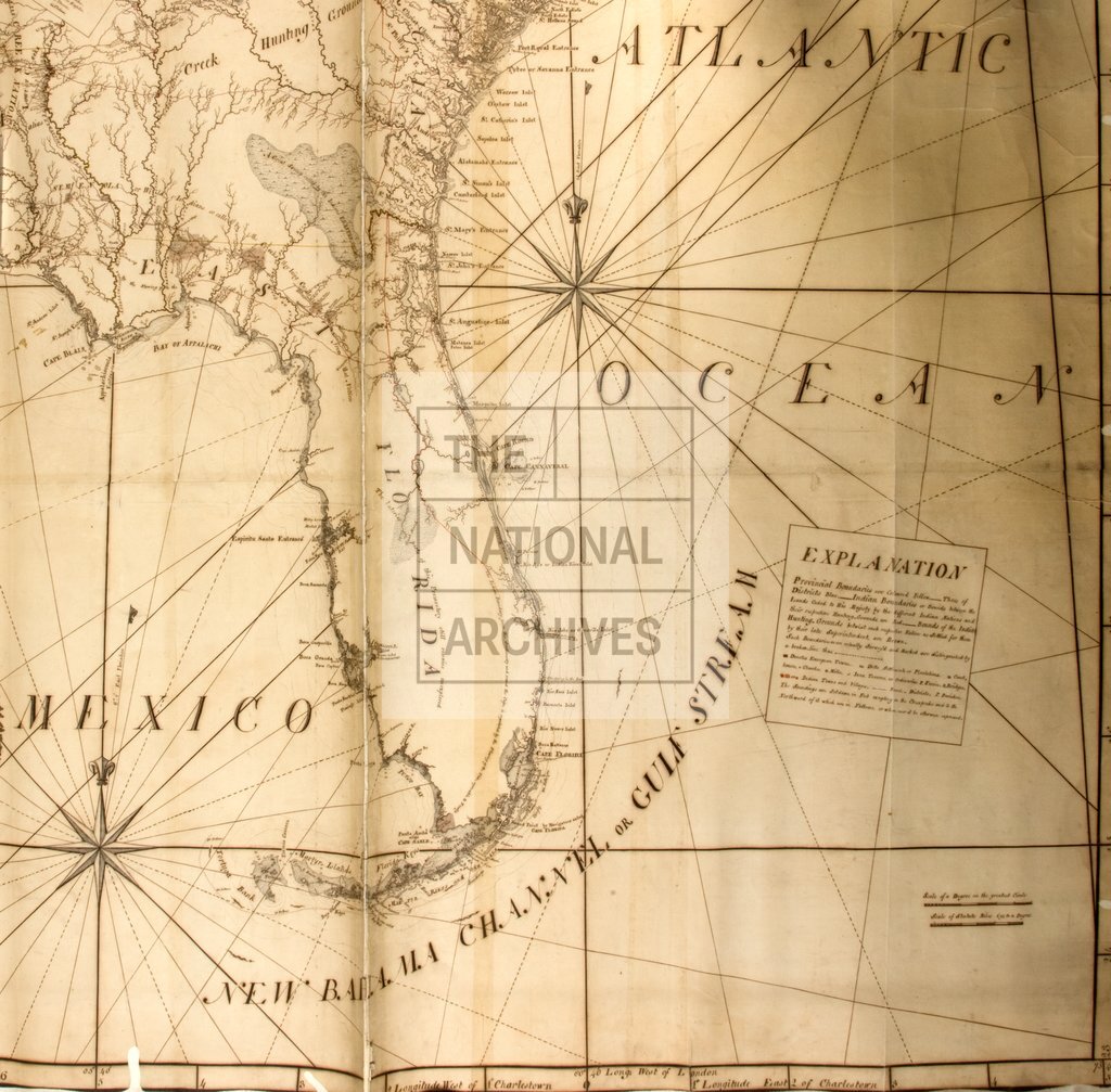
A new Map of the Southern District of North America from surveys taken by the compiler and others, from accounts of travellers and from the best authorities, etc. Compiled in 1781 for Lieut. Colonel Thomas Brown, H.M.'s Superintendent of Indian Affairs, etc. By Joseph Purcell. MS. 16 miles to 1 inch.
Categories:
Maps and plans
Subjects:
Americas; International; Maps and plans; Navy
Topics:
International trade and affairs; Land and buildings; Military and war
Period:
Empire And Industry
Copyright information:
Copyright clearance for publication is not required, except in the case of documents in third-party copyright.
Usage terms:
https://www.nationalarchives.gov.uk/documents/information-management/use-of-tna-materials.pdf