Zambesia gold regions
Date:
1904
Reference:
CO 700/RhodesiaandCentralAfrica44 (2)
Creator:
Colonial Office, Commonwealth and Foreign and Commonwealth Offices, Empire Marketing Board, and related bodies
Catalogue context:
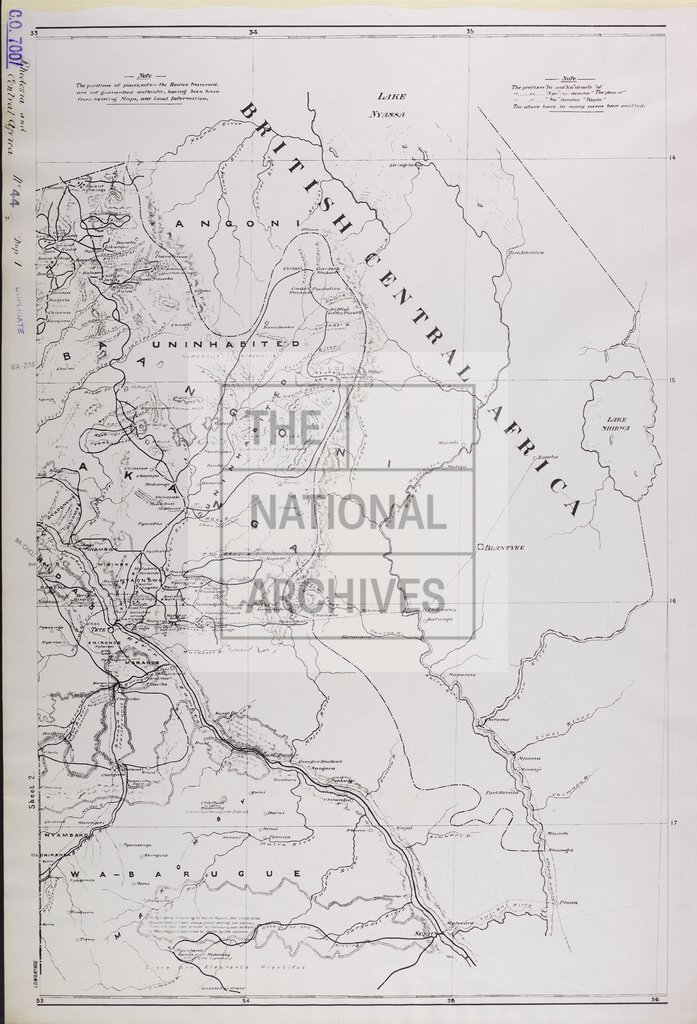
IDWO 1825: Map of the Zambesia Gold Regions, showing physical and geological features. Prepared from original observations by H. Newman-Smith, 1896-1901. 1 inch to 8 miles
Categories:
Maps and plans
Subjects:
Africa; International; Maps and plans
Topics:
International trade and affairs; Land and buildings
Period:
Early 20th Century
Copyright information:
Copyright clearance for publication is not required, except in the case of documents in third-party copyright.
Usage terms:
https://www.nationalarchives.gov.uk/documents/information-management/use-of-tna-materials.pdf