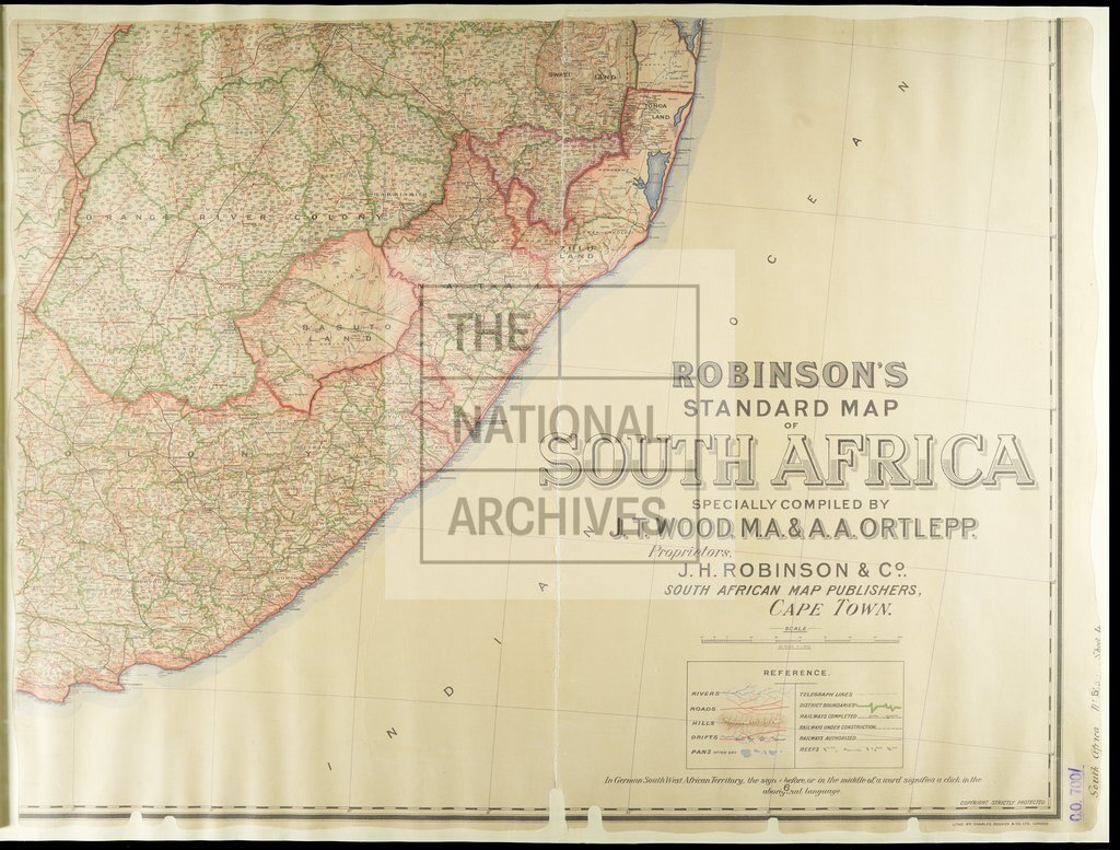
Robinson's Standard Map of South Africa
Date:
1904
Reference:
CO 700/SouthAfrica59 (4 of 4)
Creator:
Colonial Office, Commonwealth and Foreign and Commonwealth Offices, Empire Marketing Board, and related bodies
Catalogue context:
Robinson's Standard Map of South Africa, specially compiled by J. T. Wood, M.A., and A. A. Ortlepp, Cape Town. 20 miles to 1 inch.
Categories:
Maps and plans; Overseas
Subjects:
Africa; International; Maps and plans
Topics:
International trade and affairs; Land and buildings
Period:
Early 20th Century
Places:
Africa
Copyright information:
Copyright clearance for publication is not required, except in the case of documents in third-party copyright.
Usage terms:
https://www.nationalarchives.gov.uk/documents/information-management/use-of-tna-materials.pdf