Plan of the Eastern Boundary of South Australia
Date:
1848
Reference:
CO 700/SouthAustralia20 (2)
Creator:
Colonial Office, Commonwealth and Foreign and Commonwealth Offices, Empire Marketing Board, and related bodies
Catalogue context:
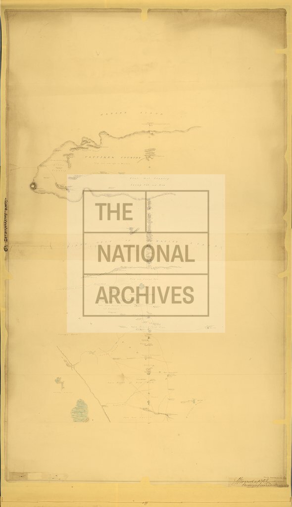
Plan of the Eastern Boundary of South Australia (Another copy). Copied from a tracing by Mr. White by Richd. Counsel, Survey Office, [Adelaide], January, 1848. E. C. Frome, Capt., R.E., Surveyor-General. MS. 2 miles to 1 inch.
Categories:
Maps and plans; Overseas
Subjects:
Australia and Pacific; International; Maps and plans
Topics:
International trade and affairs; Land and buildings
Period:
Empire And Industry
Places:
Australia
Copyright information:
Copyright clearance for publication is not required, except in the case of documents in third-party copyright.
Usage terms:
https://www.nationalarchives.gov.uk/documents/information-management/use-of-tna-materials.pdf