Southern portion of South Australia as divided into Counties and Hundreds
Date:
1877
Reference:
CO 700/SouthAustralia28 (13)
Creator:
Colonial Office, Commonwealth and Foreign and Commonwealth Offices, Empire Marketing Board, and related bodies
Catalogue context:
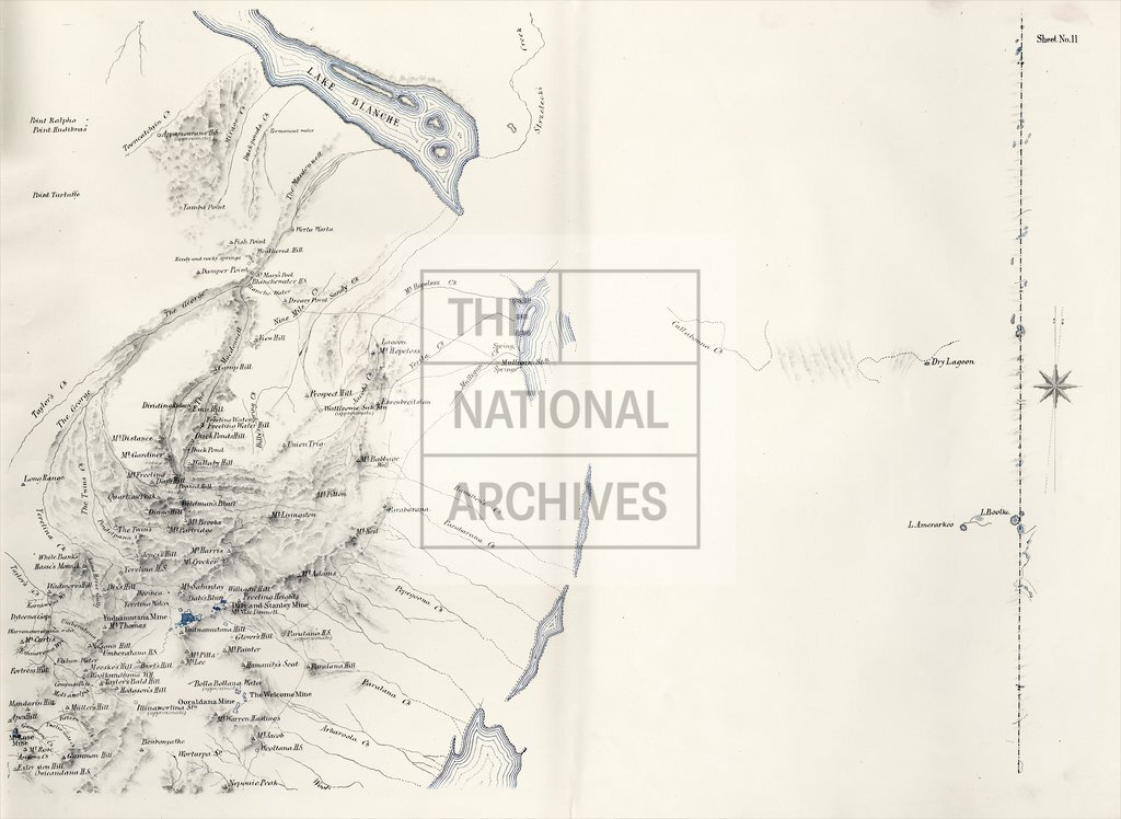
Plan of the Southern portion of South Australia as divided into Counties and Hundreds, showing the most important Settlements, Post Towns, Telegraph Stations, Main Roads, Railways, etc. Compiled from official documents in the Office of the Surveyor-General, Adelaide, 1877. 4 miles to 1 inch.
Categories:
Maps and plans; Overseas
Subjects:
Australia and Pacific; Communications; International; Maps and plans; Railways
Topics:
Arts and culture; International trade and affairs; Land and buildings; Transport and travel
Period:
Victorians
Places:
Australia
Copyright information:
Copyright clearance for publication is not required, except in the case of documents in third-party copyright.
Usage terms:
https://www.nationalarchives.gov.uk/documents/information-management/use-of-tna-materials.pdf