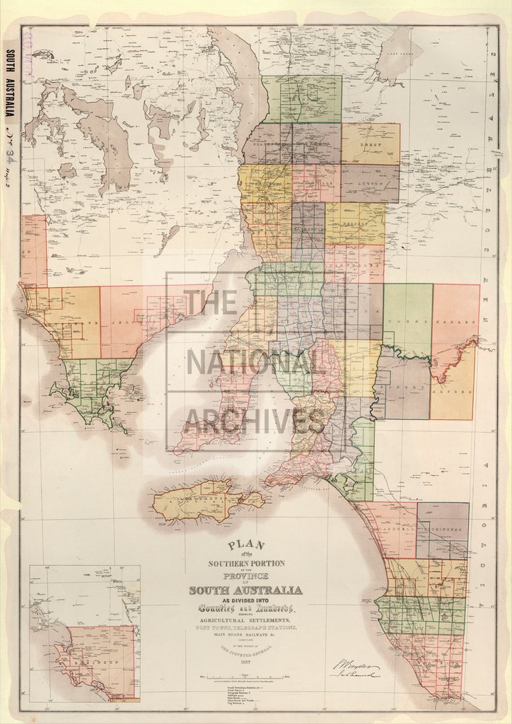
Southern Portion of the Province of South Australia as divided into Counties and Hundreds
Date:
1887
Reference:
CO 700/SouthAustralia34
Creator:
Colonial Office, Commonwealth and Foreign and Commonwealth Offices, Empire Marketing Board, and related bodies
Catalogue context:
Plan of the Southern Portion of the Province of South Australia as divided into Counties and Hundreds, showing Agricultural Settlements, Post Towns, etc...Compiled in the Office of the Surveyor-General, Adelaide, 1887. 16 miles to 1 inch.
Categories:
Maps and plans; Overseas
Subjects:
Australia and Pacific; Farming; International; Maps and plans
Topics:
Agriculture and environment; International trade and affairs; Land and buildings
Period:
Victorians
Places:
Australia
Copyright information:
Copyright clearance for publication is not required, except in the case of documents in third-party copyright.
Usage terms:
https://www.nationalarchives.gov.uk/documents/information-management/use-of-tna-materials.pdf