Properties in St Helena
Date:
1839
Reference:
CO 700/StHelena8 (F)
Creator:
Colonial Office, Commonwealth and Foreign and Commonwealth Offices, Empire Marketing Board, and related bodies
Catalogue context:
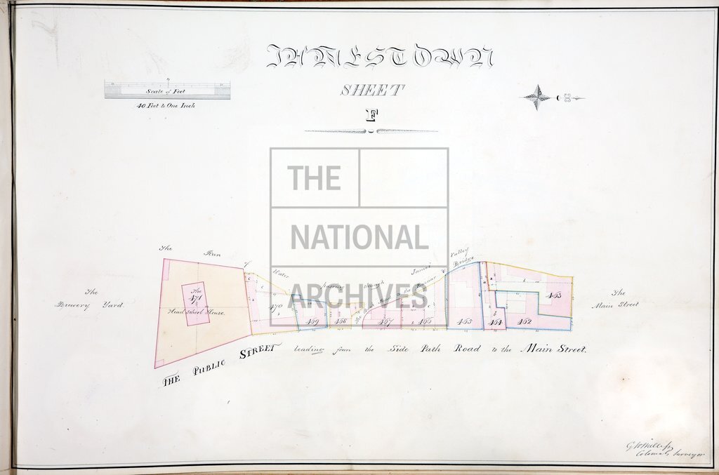
Volume containing 21 maps and plans of properties, etc, in Saint Helena, labelled with the letters A-I, K-P, S-W and Z. By G W Melliss, Colonial Surveyor. Originally accompanying a despatch from Governor Middlemore, July 1839 (8988/40); this despatch is not filed in the volume. A plan lettered R seems to have been torn out of the volume at some time before the records were transferred to the Public Record Office; it has not been identified in the holdings of The National Archives and is unlikely to have survived elsewhere.
Categories:
Maps and plans
Subjects:
Africa; Archives and libraries; International; Maps and plans
Topics:
International trade and affairs; Land and buildings
Period:
Empire And Industry
Copyright information:
Copyright clearance for publication is not required, except in the case of documents in third-party copyright.
Usage terms:
https://www.nationalarchives.gov.uk/documents/information-management/use-of-tna-materials.pdf