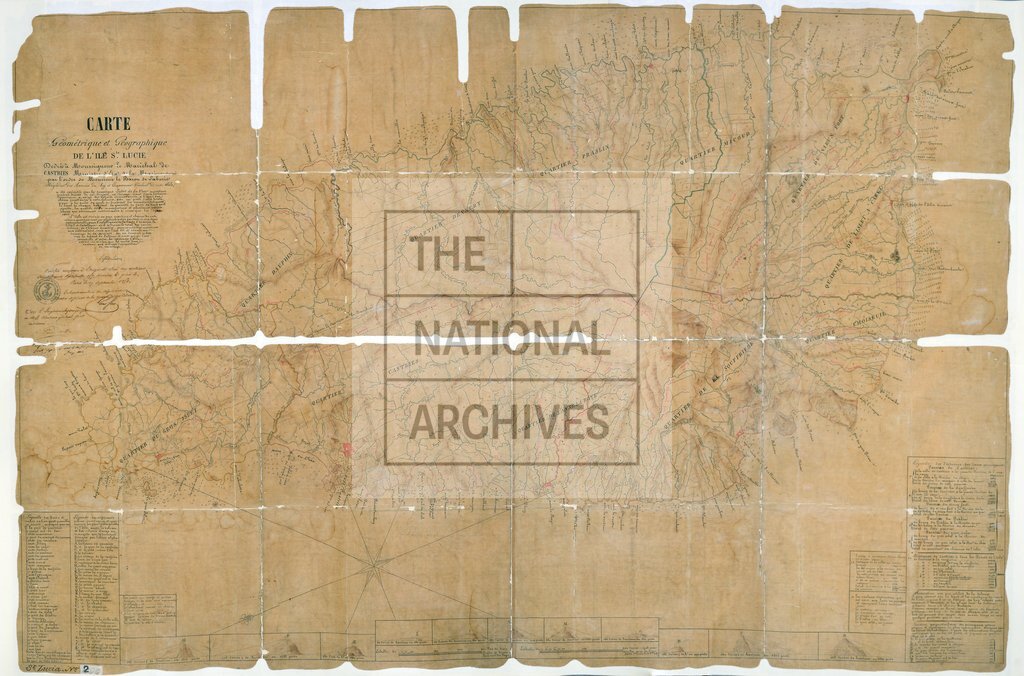
French map of the island
Date:
1787
Reference:
CO 700/StLucia2
Creator:
Colonial Office, Commonwealth and Foreign and Commonwealth Offices, Empire Marketing Board, and related bodies
Catalogue context:
Carte géométrique et géographique de l'Ile Sainte Lucie, dressée par l'ordre de M. le Baron de Laborie, Brigadier des Armées du Roy et Gouverneur Général de cette Isle, executée par M. Lefort de Latour. Avec une déscription générale de l'Isle. Paris, 1787. Tracing.
Categories:
Maps and plans; Overseas
Subjects:
Caribbean; International; Maps and plans
Topics:
International trade and affairs; Land and buildings
Period:
Empire And Industry
Places:
France
Copyright information:
Copyright clearance for publication is not required, except in the case of documents in third-party copyright.
Usage terms:
https://www.nationalarchives.gov.uk/documents/information-management/use-of-tna-materials.pdf