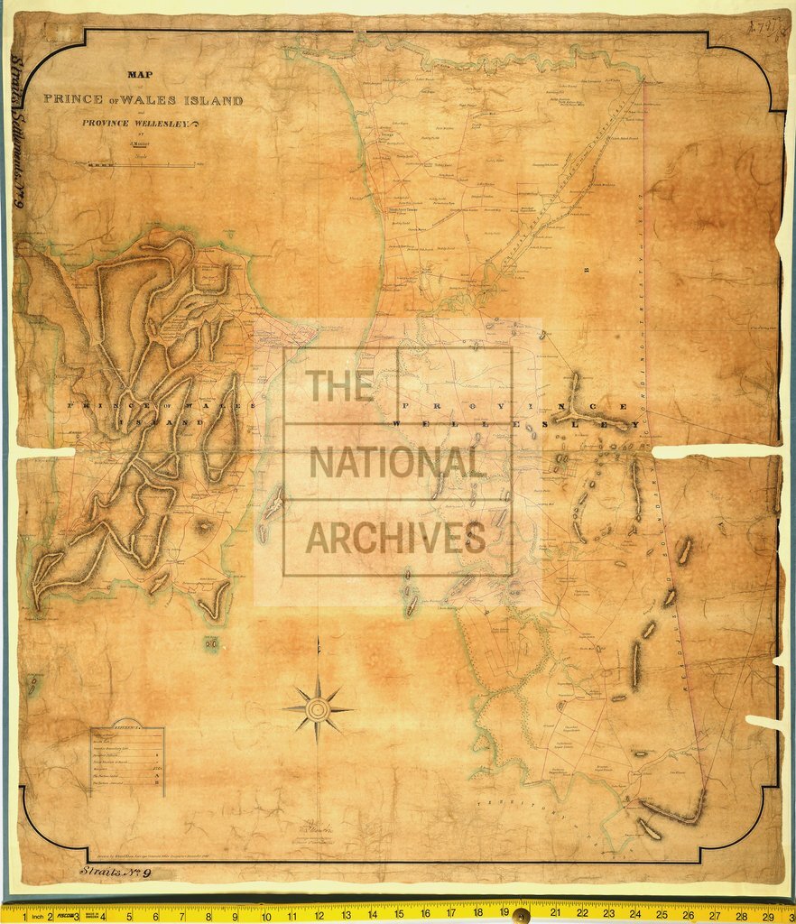
Prince of Wales Island, Penang
Date:
1867
Reference:
CO 700/StraitsSettlements9
Creator:
Colonial Office, Commonwealth and Foreign and Commonwealth Offices, Empire Marketing Board, and related bodies
Catalogue context:
Map of Prince of Wales' Island and Province Wellesley. By J. Moniot. 1 mile to 1 inch. Author, Publisher, &c.: Official, Singapore
Categories:
Maps and plans; Overseas
Subjects:
Asia; International; Maps and plans
Topics:
International trade and affairs; Land and buildings
Period:
Victorians
Places:
Great Britain; Malaysia; Wales
Copyright information:
Copyright clearance for publication is not required, except in the case of documents in third-party copyright.
Usage terms:
https://www.nationalarchives.gov.uk/documents/information-management/use-of-tna-materials.pdf