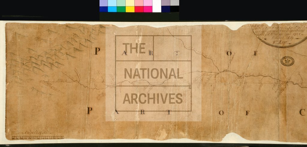
Boundary between Virginia and Carolina
Date:
1728
Reference:
CO 700/VIRGINIA4 (left half)
Creator:
Colonial Office, Commonwealth and Foreign and Commonwealth Offices, Empire Marketing Board, and related bodies
Catalogue context:
A Map of the Boundary between Virginia and Carolina, laid out by His Majesty's Order and Assent of the Lords Proprietors of Carolina in 1728. Delineated by Wm. Mayo. MS. 1 inch to 5 miles
Categories:
Maps and plans
Subjects:
Americas; International; Maps and plans
Topics:
International trade and affairs; Land and buildings
Period:
Early Modern
Copyright information:
Copyright clearance for publication is not required, except in the case of documents in third-party copyright.
Usage terms:
https://www.nationalarchives.gov.uk/documents/information-management/use-of-tna-materials.pdf