West Indies [1818]
Date:
1818
Reference:
CO 700/WestIndies35
Creator:
Colonial Office, Commonwealth and Foreign and Commonwealth Offices, Empire Marketing Board, and related bodies
Catalogue context:
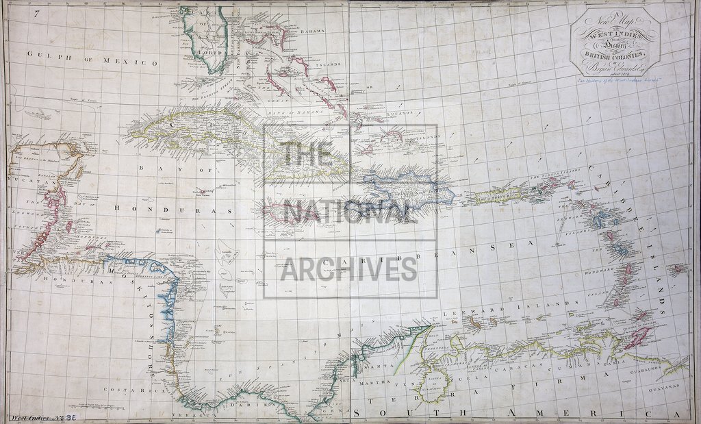
A New Map of the West Indies for the History of the British Colonies. By Bryan Edwards. 1 inch to about 53 miles
Categories:
Maps and plans
Subjects:
Americas; Caribbean; International; Maps and plans
Topics:
International trade and affairs; Land and buildings
Period:
Empire And Industry
Copyright information:
Copyright clearance for publication is not required, except in the case of documents in third-party copyright.
Usage terms:
https://www.nationalarchives.gov.uk/documents/information-management/use-of-tna-materials.pdf