Zululand
Date:
1879
Reference:
CO 700/ZULULAND5
Creator:
Colonial Office, Commonwealth and Foreign and Commonwealth Offices, Empire Marketing Board, and related bodies
Catalogue context:
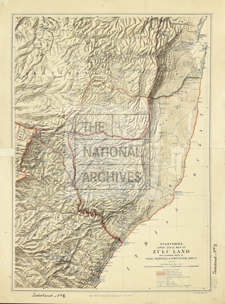
Large Scale Map of Zulu Land with adjoining parts of Natal, Transvaal, and Portuguese Africa. [With notes on the physical features and population.] 10 miles to 1 inch. Author, Publisher, &c.: Stanford, E., London
Categories:
Maps and plans
Subjects:
Africa; International; Maps and plans
Topics:
International trade and affairs; Land and buildings
Period:
Victorians
Copyright information:
Copyright clearance for publication is not required, except in the case of documents in third-party copyright.
Usage terms:
https://www.nationalarchives.gov.uk/documents/information-management/use-of-tna-materials.pdf