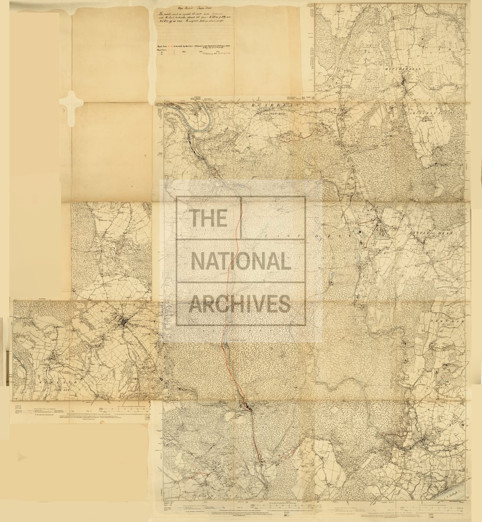
Ordnance Survey of the Forest of Dean, showing roads and proposed roads
Date:
1910
Reference:
F 17/72
Creator:
Forestry Commission, and related bodies
Catalogue context:
ORDER THIS DOCUMENT AS F 17/71. Ordnance Survey of the Forest showing roads made and proposed under agreements with local authorities. Printed coloured. 4 ft. 9.2 ins. X 5 ft. 2.2 ins. One mile to 6 inches.
Categories:
Maps and plans
Subjects:
Forestry; Maps and plans
Topics:
Agriculture and environment; Land and buildings
Period:
Early 20th Century
Copyright information:
Copyright clearance for publication is not required, except in the case of documents in third-party copyright.
Usage terms:
https://www.nationalarchives.gov.uk/documents/information-management/use-of-tna-materials.pdf