New Forest
Date:
1789
Reference:
F 17/171 (3)
Creator:
Forestry Commission, and related bodies
Catalogue context:
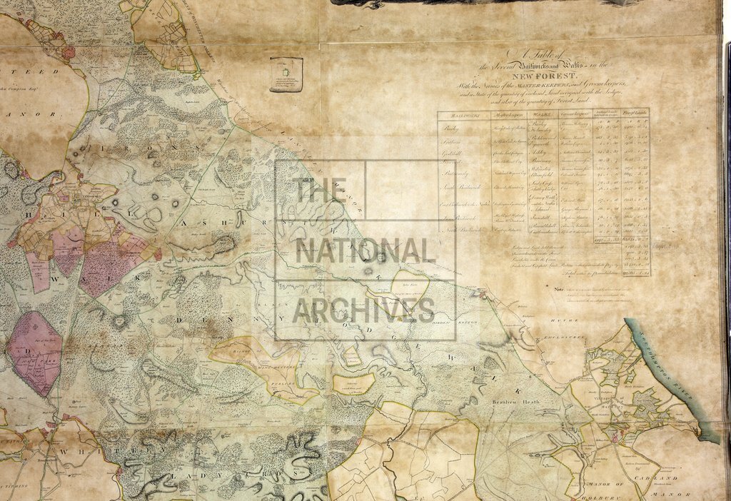
Similar map to no. 169. 5 ft. 8.2 ins X 5 ft. 6 ins. 2 furlongs to an inch.
Categories:
Maps and plans
Subjects:
Forestry; Maps and plans
Topics:
Agriculture and environment; Land and buildings
Period:
Empire And Industry
Copyright information:
Copyright clearance for publication is not required, except in the case of documents in third-party copyright.
Usage terms:
https://www.nationalarchives.gov.uk/documents/information-management/use-of-tna-materials.pdf