New Forest Denny Lodge Walk
Date:
1848
Reference:
F 17/256
Creator:
Forestry Commission, and related bodies
Catalogue context:
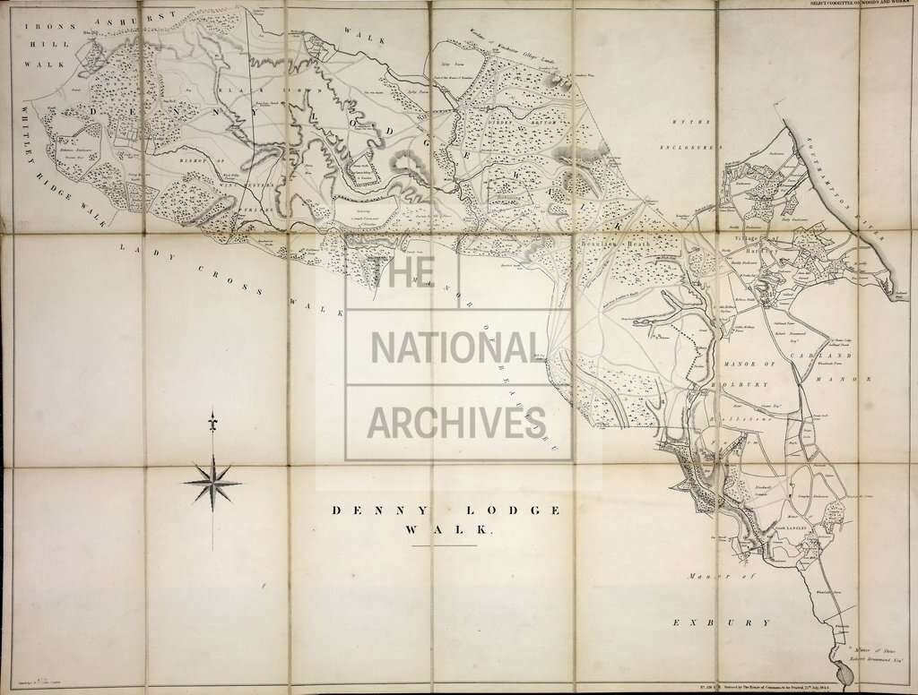
Denny Lodge Walk: plan showing forest lands, crown leaseholds and encroachments. Henry Hansard, printer. Lithograph. 2 ft. 10.4 ins. X 2 ft. 2.9 ins. Scale not shown.
Categories:
Maps and plans
Subjects:
Common land; Forestry; Maps and plans
Topics:
Agriculture and environment; Land and buildings
Period:
Empire And Industry
Copyright information:
Copyright clearance for publication is not required, except in the case of documents in third-party copyright.
Usage terms:
https://www.nationalarchives.gov.uk/documents/information-management/use-of-tna-materials.pdf