Africa West Coast
Date:
1880
Reference:
FO 925/785
Creator:
Foreign Office
Catalogue context:
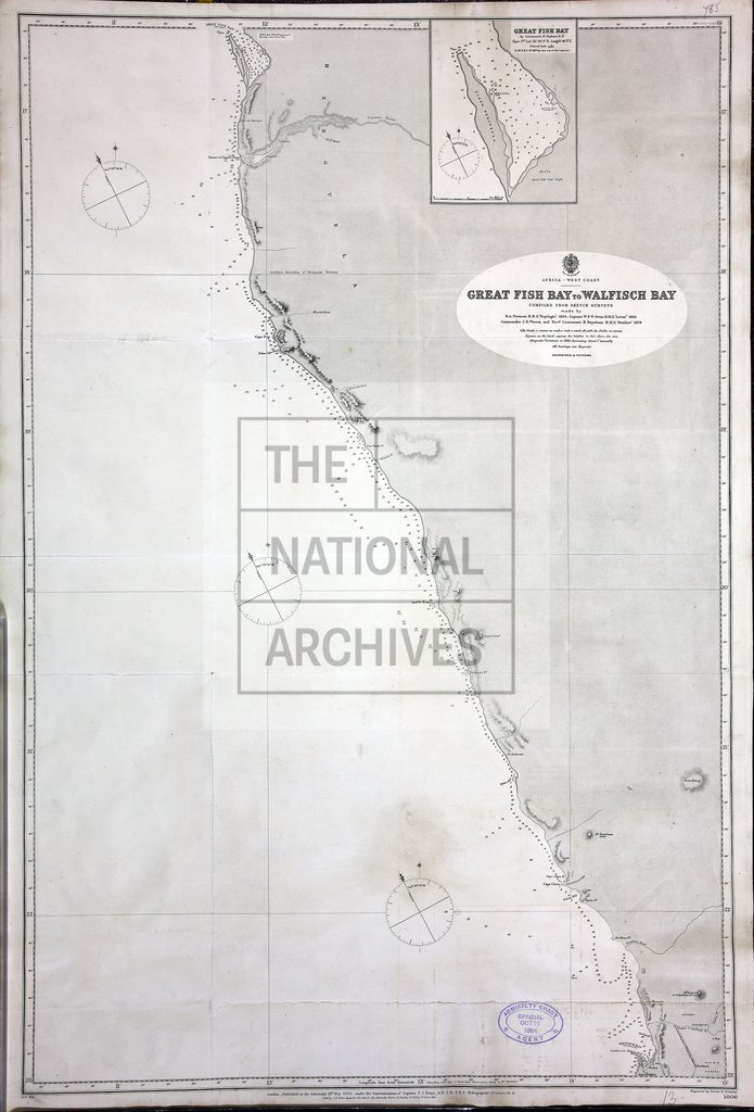
Great Fish Bay to Walfish Bay, compiled from sketch survey made by R.A. Newman, HMS Espègle 1824, Captain W.F.W. Owen HMS Leven 1825, Cmdr J.B. Warren & Navigation- Lt H. Baynham, HMS Swallow, 1879. 10 sea miles to an inch. Admiralty Chart 1806. Inset: Great Fish Bay. Admiralty.
Categories:
Maps and plans; Overseas
Subjects:
Armed Forces (General Administration); International; Maps and plans; Navy
Topics:
International trade and affairs; Land and buildings; Military and war
Period:
Victorians
Places:
Africa
Copyright information:
Copyright clearance for publication is not required, except in the case of documents in third-party copyright.
Usage terms:
https://www.nationalarchives.gov.uk/documents/information-management/use-of-tna-materials.pdf