British Bechuanaland
Date:
1893
Reference:
FO 925/897
Creator:
Foreign Office
Catalogue context:
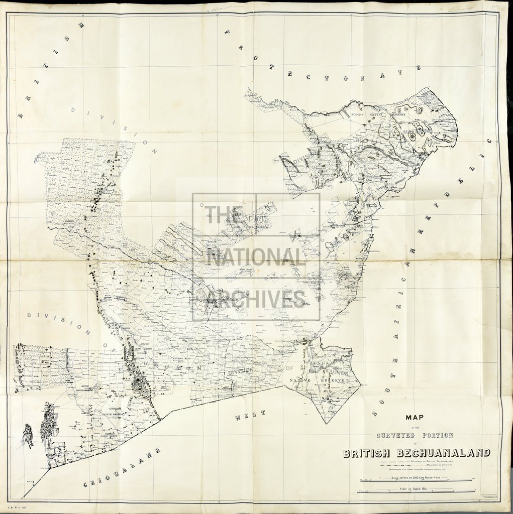
Map of the surveyed portion of British Bechuanaland, showing its boundary & Magisterial Divisions. IDWO 950. War Office.
Categories:
Maps and plans
Subjects:
Africa; Armed Forces (General Administration); Army; International; Maps and plans
Topics:
International trade and affairs; Land and buildings; Military and war
Period:
Victorians
Copyright information:
Copyright clearance for publication is not required, except in the case of documents in third-party copyright.
Usage terms:
https://www.nationalarchives.gov.uk/documents/information-management/use-of-tna-materials.pdf