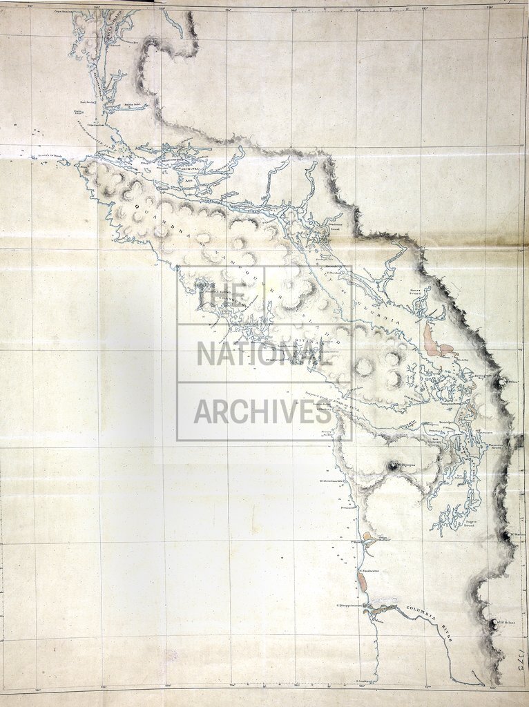
Vancouver Island and the adjacent coast from King's Island to the mouth of the Columbia River
Date:
1848
Reference:
FO 925/1373
Creator:
Foreign Office
Catalogue context:
Map of Vancouver Island and the adjacent coast from King's Island to the mouth of the Columbia River. Original. 14 sea miles to an inch. In Mr Bancroft's letter of 3 Nov 1848.
Categories:
Maps and plans; Overseas
Subjects:
International; Maps and plans
Topics:
International trade and affairs; Land and buildings
Period:
Empire And Industry
Places:
Canada
Copyright information:
Copyright clearance for publication is not required, except in the case of documents in third-party copyright.
Usage terms:
https://www.nationalarchives.gov.uk/documents/information-management/use-of-tna-materials.pdf