Farnham Royal, Buckinghamshire
Date:
1841
Reference:
IR 30/3/42 (1 of 5)
Creator:
Boards of Stamps, Taxes, Excise, Stamps and Taxes, and Inland Revenue
Catalogue context:
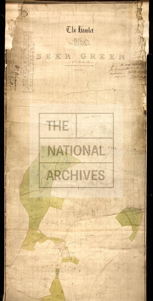
Tithe map of Farnham Royal (parish), Buckinghamshire. Shows buildings (named), open fields, landownership, hedges, named roads, gravel pit, woods, waterbodies. Colouring used. Scale: 1 inch to 4 chains. With 1 altered apportionment map
Categories:
Maps and plans
Subjects:
Tithe maps; England and Wales; Forestry; Maps and plans; Mining and quarrying; Tithes
Topics:
Agriculture and environment; Business, finance and innovation; Land and buildings
Period:
Empire And Industry
Copyright information:
Copyright clearance for publication is not required, except in the case of documents in third-party copyright.
Usage terms:
https://www.nationalarchives.gov.uk/documents/information-management/use-of-tna-materials.pdf