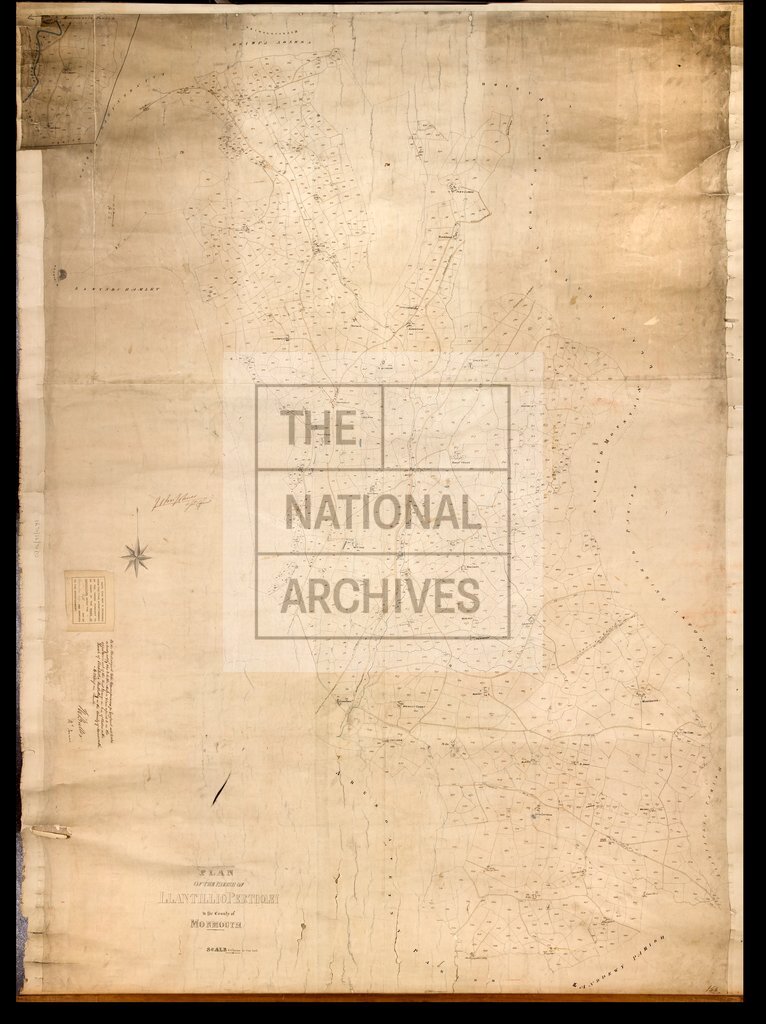
Llantillio Pertholey, Monmouthshire
Date:
1847
Reference:
IR 30/22/70
Creator:
Boards of Stamps, Taxes, Excise, Stamps and Taxes, and Inland Revenue
Catalogue context:
Tithe map of Llantillio Pertholey [Llantilio Pertholey] (parish), Monmouthshire. Shows buildings (named), mill, railway, hill-drawing, waterbodies, named physical features (hills, mountain). Detached part mapped separately. Scale: 1 inch to 6 chains
Categories:
Maps and plans
Subjects:
Tithe maps; England and Wales; Maps and plans; Railways; Tithes
Topics:
Business, finance and innovation; Land and buildings; Transport and travel
Period:
Empire And Industry
Copyright information:
Copyright clearance for publication is not required, except in the case of documents in third-party copyright.
Usage terms:
https://www.nationalarchives.gov.uk/documents/information-management/use-of-tna-materials.pdf