Longsutton Southampton
Date:
1841
Reference:
IR 30/31/243 (c)
Creator:
Boards of Stamps, Taxes, Excise, Stamps and Taxes, and Inland Revenue
Catalogue context:
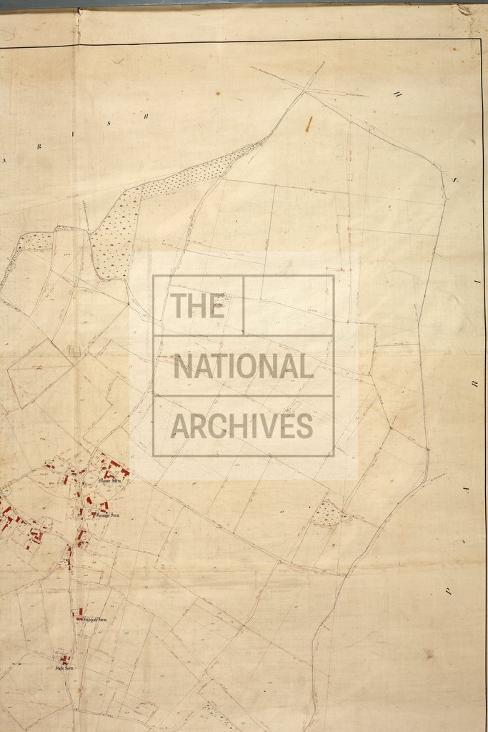
Tithe map of Long Sutton (parish), Hampshire. Shows buildings and farms (both named), hedge ownership, field gates, woods, heath/moor (furze, bushes), waterbodies. Colouring used. Scale: 1 inch to 3 chains. First class map. Construction lines shown. By George Hewett junior, Elvetham, Hartford Bridge
Categories:
Maps and plans
Subjects:
Tithe maps; England and Wales; Farming; Forestry; Maps and plans; Tithes
Topics:
Agriculture and environment; Business, finance and innovation; Land and buildings
Period:
Empire And Industry
Copyright information:
Copyright clearance for publication is not required, except in the case of documents in third-party copyright.
Usage terms:
https://www.nationalarchives.gov.uk/documents/information-management/use-of-tna-materials.pdf