West Meon, Hampshire
Date:
1839
Reference:
IR 30/31/269 (4 of 8)
Creator:
Boards of Stamps, Taxes, Excise, Stamps and Taxes, and Inland Revenue
Catalogue context:
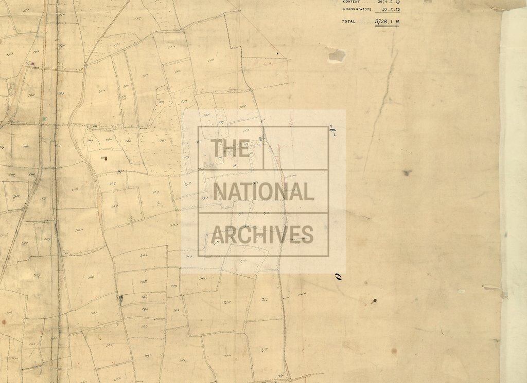
Tithe map of Westmeon [West Meon] (parish), Hampshire. Shows buildings, gardens, field boundary ownership, glebe (coloured), hedge and fence ownership, woods, pit, footpath and/or bridleway, waterbodies. Scale: 1 inch to 3 chains. First class map. Construction lines shown. By R and C Pink, Hambledon
Categories:
Maps and plans
Subjects:
Tithe maps; England and Wales; Forestry; Maps and plans; Tithes
Topics:
Agriculture and environment; Business, finance and innovation; Land and buildings
Period:
Empire And Industry
Copyright information:
Copyright clearance for publication is not required, except in the case of documents in third-party copyright.
Usage terms:
https://www.nationalarchives.gov.uk/documents/information-management/use-of-tna-materials.pdf