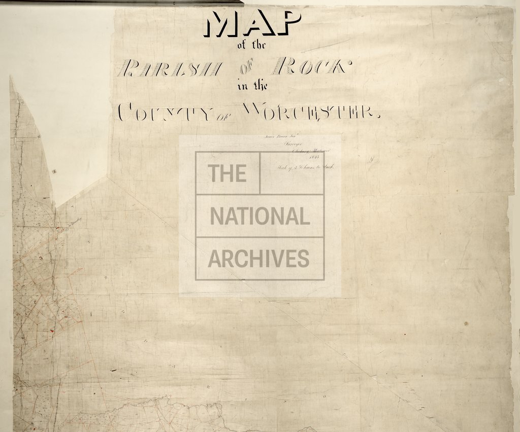
Rock, Worcestershire
Date:
1843
Reference:
IR 30/39/115 pt1
Creator:
Boards of Stamps, Taxes, Excise, Stamps and Taxes, and Inland Revenue
Catalogue context:
Tithe map of Rock (parish), Worcestershire. Shows buildings, plantations, woods, ash beds, quarry, waterbodies. Scale: 1 inch to 3 chains. First class map. Construction lines shown. By James Bourn junior, Cleobury Mortimer
Categories:
Maps and plans
Subjects:
Tithe maps; England and Wales; Forestry; Maps and plans; Mining and quarrying; Tithes
Topics:
Agriculture and environment; Business, finance and innovation; Land and buildings
Period:
Empire And Industry
Copyright information:
Copyright clearance for publication is not required, except in the case of documents in third-party copyright.
Usage terms:
https://www.nationalarchives.gov.uk/documents/information-management/use-of-tna-materials.pdf