Kirk Levington York
Date:
1839
Reference:
IR 30/42/214
Creator:
Boards of Stamps, Taxes, Excise, Stamps and Taxes, and Inland Revenue
Catalogue context:
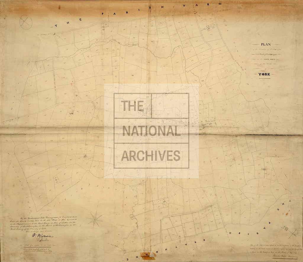
Tithe map of Kirkleavington [Kirklevington] (township in the parish of Kirkleavington), North Riding of Yorkshire. Shows orchard, plantations, footpath and/or bridleway. Turnpike roads distinguished; toll bars. Scale: 1 inch to 4 chains
Categories:
Maps and plans
Subjects:
Tithe maps; England and Wales; Farming; Maps and plans; Road transport; Tithes
Topics:
Agriculture and environment; Business, finance and innovation; Land and buildings; Transport and travel
Period:
Empire And Industry
Copyright information:
Copyright clearance for publication is not required, except in the case of documents in third-party copyright.
Usage terms:
https://www.nationalarchives.gov.uk/documents/information-management/use-of-tna-materials.pdf