Westmorland Kirkby Stephen
Date:
1854
Reference:
MAF 1/469 no2
Creator:
Agriculture, Fisheries and Food Departments, and related bodies
Catalogue context:
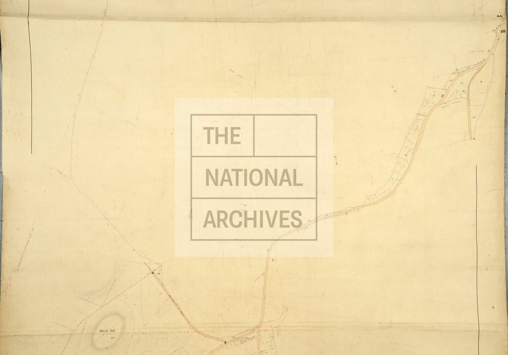
Enclosure award and map of Kirkby Stephen (township and parish), Westmorland. Map on two sheets. Map A covers the enclosed area only (1491 acres) and shows the land before and after enclosure. Also shows woods, some pre-enclosure field acreages, some post-enclosure field acreages, sheep fold, swallow holes, footpaths or bridleways, turnpike roads, quarries, turbaries, notable stones, field boundary ownership, named physical features, relief (shown by hachures). Industrial land-use: lime kiln. With border. Scale: 1 inch to 3 chains. Construction lines shown. By C Webster, Kendal, 1854. Map certified 24 September 1855. Map B covers the enclosed area and some other land (1400 acres) and shows the land after enclosure. Also shows named river. Note on the face of the map states 'Copied from the Tithe Survey. C W'. With border. Scale: 1 inch to 6 chains. By C.W. [?Crayston Webster], 1854. Valuer: Crayston Webster, Kendal, Westmorland, Land Surveyor. Dimensions of maps: Map A) 109 cm x 388 cm (with protrusions),...
Categories:
Maps and plans
Subjects:
Common land; Farming; Fishing; Food and drink; Forestry; Maps and plans; Mining and quarrying; Road transport; Tithes
Topics:
Agriculture and environment; Business, finance and innovation; Land and buildings; Transport and travel
Period:
Victorians
Copyright information:
Copyright clearance for publication is not required, except in the case of documents in third-party copyright.
Usage terms:
https://www.nationalarchives.gov.uk/documents/information-management/use-of-tna-materials.pdf