Peel Commission Report 1937 Jewish land holdings
Date:
1937
Reference:
MFQ 1/465 (278)
Creator:
Maps and plans extracted to flat storage from records of various departments held at the Public Record Office, Kew
Catalogue context:
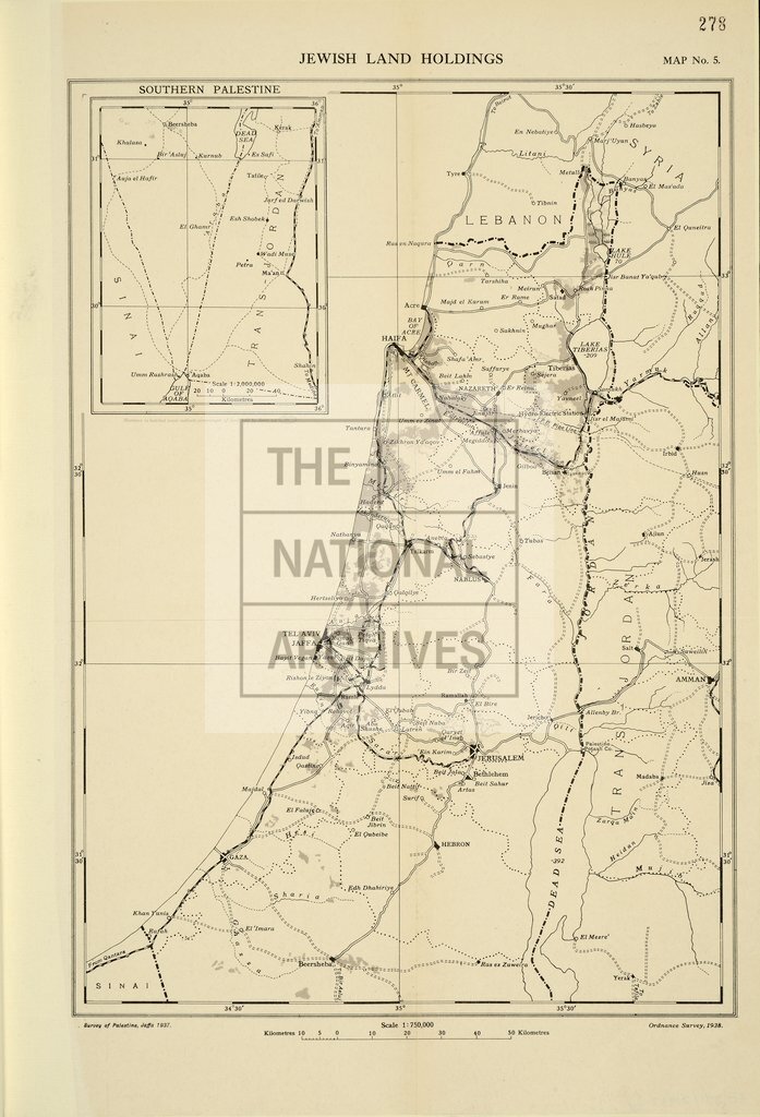
12 items extracted from FO 371/21868 (folios 275-286). Middle East: Palestine, Transjordan. 12 maps (of territory now in Israel, the Occupied Territories, Jordan and surrounding areas). (1) 'The Commission's Tours. Map No.2': covering the area between Tyre (Sour) and Aqaba, showing the route taken by the Palestine Partition Commissioners in May and June [1937]. Scale: 1:1,000,000. [By] Survey of Palestine, Jaffa (Yafo), 1938; [printed by] Ordnance Survey, 1938. (2) OR 924: 'Map of the Royal Commission's Partition Plan (reproduced from their report). Map No.3': covering the area between Haifa (Hefa) and Aqaba, showing international boundaries, railways and roads. Scale: 1 inch to 21.4 miles. [By] War Office, 1937; printed by Ordnance Survey 1938. (3) 'The Boundaries of Jaffa. Map No.4': showing municipal and proposed boundaries, with part of Tel-Aviv. Also shows streets, buildings and fields. Reference table. Scale: 1:20,000. [By] Survey of Palestine, Jaffa, 1935; [printed by] Ordnance Survey, 1938. (4) 'J...
Categories:
Maps and plans; Overseas
Subjects:
Archives and libraries; Armed Forces (General Administration); Army; Conflict; Food and drink; Maps and plans; Middle East; Operations, battles and campaigns; Railways; Religions
Topics:
Agriculture and environment; International trade and affairs; Land and buildings; Military and war; Religion; Transport and travel
Period:
Interwar
Places:
Middle East
Copyright information:
Copyright clearance for publication is not required, except in the case of documents in third-party copyright.
Usage terms:
https://www.nationalarchives.gov.uk/documents/information-management/use-of-tna-materials.pdf