Index of maps of Richmond, Surrey
Date:
1771
Reference:
MPI 1/545 (1)
Creator:
Maps and plans extracted to flat storage from records of departments not assigned an individual map extract prefix
Catalogue context:
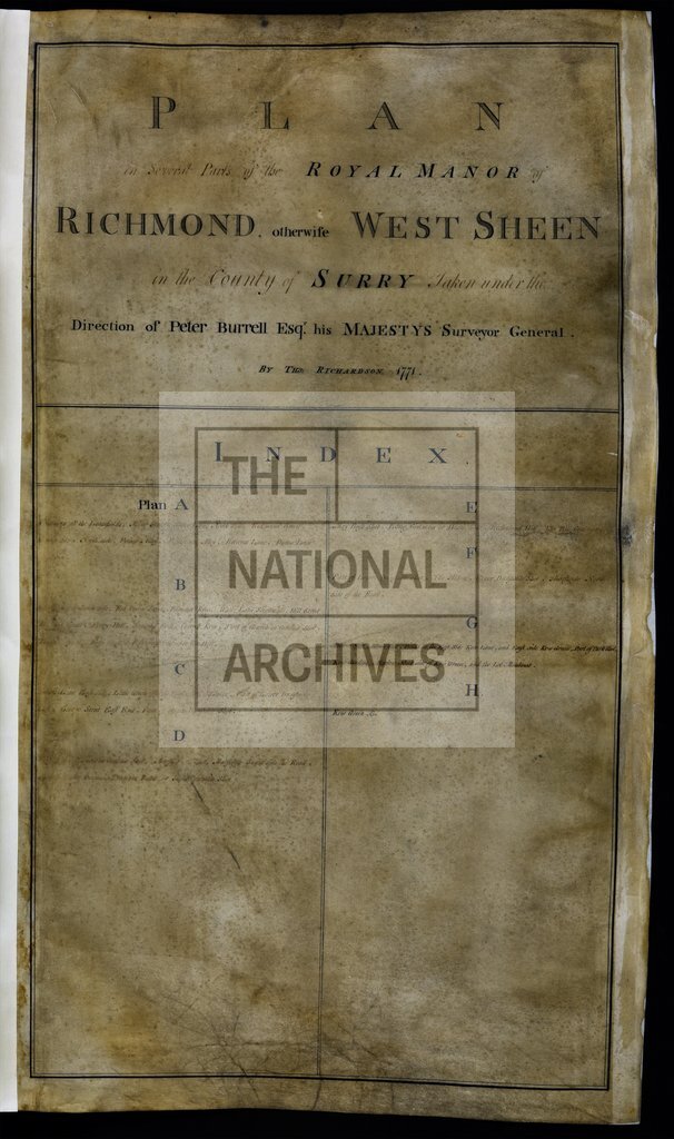
'Plan in several parts of the Royal Manor of Richmond, otherwise West Sheen in the County of Surrey, taken under the direction of Peter Burrell Esqr. his Majesty's Surveyor General. By Tho. Richardson 1771'. Nine items, consisting of index page with title, and eight plan sheets, each showing details of streets, houses, and gardens. Scale: 1 inch to about 100 feet. Compass indicator.
Categories:
Maps and plans
Subjects:
Archives and libraries; Manors; Maps and plans
Topics:
Land and buildings
Period:
Empire And Industry
Copyright information:
Copyright clearance for publication is not required, except in the case of documents in third-party copyright.
Usage terms:
https://www.nationalarchives.gov.uk/documents/information-management/use-of-tna-materials.pdf