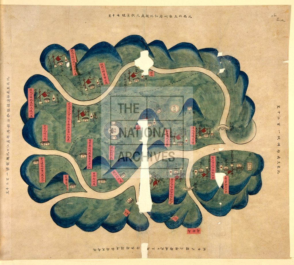
Military map of the garrison at Pai-shun, China c1850
Date:
1850
Reference:
MPK 1/250 (6)
Creator:
Maps and plans extracted to flat storage from records of the Foreign Office
Catalogue context:
6 numbered sheets and an unnumbered index sheet. China. (1) Military map of area between Canton (now Guangzhou) in the south and Ling-shan (Ling Xian) in the north. (2) Map of Ch'ang-chou (Changzhou), indicating the location where foreigners intended to rent landed property. (3) Military map of the area north-west of Canton. (4) Map of P'ing-nan-hsien, Kwangsi (Pingnan, Guangxi). (5) Military map covering the area north-east and south-east of Ch'ao-chou (Chaozhou). (6) China: Military map of the garrison at Pai-shun (?now Pei Xian). Sheet sizes between 137 cm x 64 cm and 42 cm. x 24 cm.
Categories:
Maps and plans; Overseas
Subjects:
Archives and libraries; Army; Asia; International; Landed estates; Maps and plans
Topics:
International trade and affairs; Land and buildings; Military and war
Period:
Victorians
Places:
China
Copyright information:
Copyright clearance for publication is not required, except in the case of documents in third-party copyright.
Usage terms:
https://www.nationalarchives.gov.uk/documents/information-management/use-of-tna-materials.pdf