Upper Portion of No Man's Land, Southern Africa
Date:
1863
Reference:
MR 1/32/2
Creator:
Maps and plans extracted to rolled storage from records of various departments
Catalogue context:
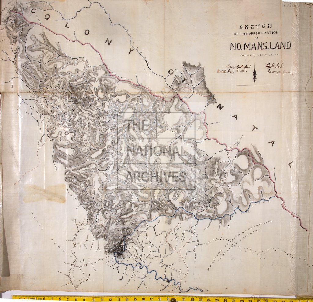
Southern Africa (area later part of Griqualand East, now in Eastern Cape province, South Africa). 'Sketch of the Upper Portion of No Man's Land': map showing rivers, routes and mountain passes. Scale: 1 inch to 2 miles. Compass indicator. Signed: P C Sutherland, Surveyor General, 1 May 1863.
Categories:
Maps and plans; Overseas
Subjects:
Africa; Archives and libraries; Maps and plans
Topics:
International trade and affairs; Land and buildings
Period:
Victorians
Places:
Africa
Copyright information:
Copyright clearance for publication is not required, except in the case of documents in third-party copyright.
Usage terms:
https://www.nationalarchives.gov.uk/documents/information-management/use-of-tna-materials.pdf