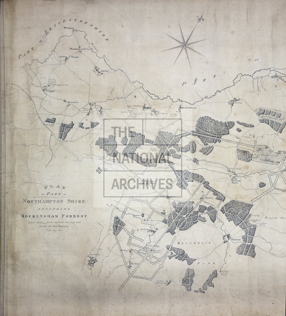
Left half Rockingham Forest [late 18th century]
Date:
1760-1799
Reference:
MR 1/317
Creator:
Maps and plans extracted to rolled storage from records of various departments
Catalogue context:
Northamptonshire. Map of Rockingham Forest. Trees are also indicated. Scale: 1 inch to 40 chains. Compass star. Surveyed by John Haywood, 75 Long Acre, Westminster.
Categories:
Maps and plans
Subjects:
Archives and libraries; Forestry; Maps and plans
Topics:
Agriculture and environment; Land and buildings
Period:
Empire And Industry
Copyright information:
Copyright clearance for publication is not required, except in the case of documents in third-party copyright.
Usage terms:
https://www.nationalarchives.gov.uk/documents/information-management/use-of-tna-materials.pdf